
Port Douglas
Town in the Shire of Douglas, Queensland, Australia
Port Douglas (Kuku-Yalanji: Jabulkanji) is a coastal town and locality in the Shire of Douglas, Queensland, Australia, approximately 60 km (37 mi) north of Cairns. In the 2021 census, the locality of Port Douglas had a population of 3,650 people.
Nº Q1364325 ★★
Uncommon · Places
Port Douglas
Town in the Shire of Douglas, Queensland, Australia
Port Douglas (Kuku-Yalanji: Jabulkanji) is a coastal town and locality in the Shire of Douglas, Queensland, Australia, approximately 60 km (37 mi) north of Cairns. In the 2021 census, the locality of Port Douglas had a population of 3,650 people.
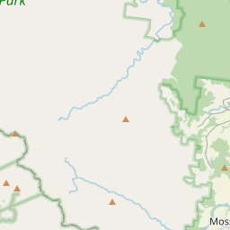
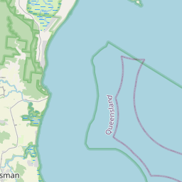
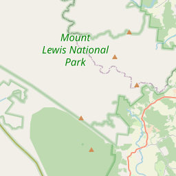
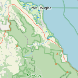
On the map

Last price
—
Floor price
—
7-day median
—
30-day sales
0
30-day range
—
In circulation
0
Price history
median
low – high
sales
No sales in this period
Show table
| Date | median | Low | High | sales |
|---|
Sales history
- Last sale
- —
- 30-day average
- —
- 30-day low
- —
- 30-day high
- —
- Sales 7d
- 0
- Sales 30d
- 0
No sales yet.
Anonymous sales: no buyer or seller shown. Figures count player-to-player sales only.
From Wikipedia
Port Douglas (Kuku-Yalanji: Jabulkanji) is a coastal town and locality in the Shire of Douglas, Queensland, Australia, approximately 60 km (37 mi) north of Cairns. In the 2021 census, the locality of Port Douglas had a population of 3,650 people. The town is situated adjacent to two World Heritage areas, the Great Barrier Reef and the Daintree Rainforest. Port Douglas was originally established as a port town after the discovery of gold on the Hodgkinson goldfield in 1876 but developed as a tourist destination in the 1980s. It was named in honour of a former Premier of Queensland, John Douglas. Previous names for the town included Jabulkanji (in Kuku-Yalandji language), Terrigal, Island Point, Port Owen and Port Salisbury. In 2026, it was listed as number 2 on Australian Traveller magazine's list of 100 Best Towns in Australia. With prospectors requiring a more direct route to the Hodgkinson goldfields than the existing road via Cooktown, Christie Palmerston blazed an overland track from Island Point to the goldfields in 1877. Known as the "Bump Track" it became the primary inland route and established Port Douglas as a key port in North Queensland. The first tent town of prospectors at the site was documented on 16 June 1877, with the Post Office opening on 1 September later that year In November 1877, the township was officially named Port Douglas after Queensland Premier John Douglas having previously been known by at least five other names including Island Point, Port Owen and Port Salisbury. The town grew rapidly as the primary access port for the Hodgkinson goldfields, drawing businesses away from Cooktown, Smithfield and Cairns. By 1878 the population was approximately 400, with 18 licensed hotels and a wide range of trades and services established in the town. The Port Douglas State School was established...
Text: Wikipédia, CC BY-SA 4.0. · Image: Malcolmj (CC BY-SA 2.0) ·
Related cards

Far North Queensland
Northernmost part of the state of Queensland, Australia
Nº Q1396047 ★★

Daintree Rainforest
Rainforest in the region of the Daintree River, Queensland, Australia
Nº Q5209517 ★★

Daylesford, Victoria
Town in Victoria, Australia
Nº Q3019340 ★

Gold Coast, Queensland
City in Queensland, Australia
Nº Q140075 ★★★★

Queensland
State of Australia
Nº Q36074 ★★★★

Seventeen Seventy, Queensland
Village in Queensland, Australia
Nº Q199635 ★