
Presidential Range
Mountain range in the US state of New Hampshire
The Presidential Range is a mountain range located in the White Mountains of the U.S. state of New Hampshire. It contains the highest peaks of the Whites, the most notable of which are named for American presidents, followed by prominent public figures of the 18th and 19th centuries.
Nº Q1264835 ★★
Uncommon · Places
Presidential Range
Mountain range in the US state of New Hampshire
The Presidential Range is a mountain range located in the White Mountains of the U.S. state of New Hampshire. It contains the highest peaks of the Whites, the most notable of which are named for American presidents, followed by prominent public figures of the 18th and 19th centuries.
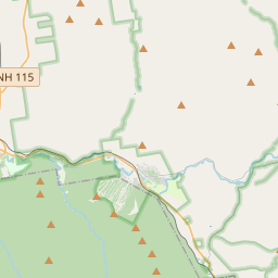
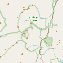
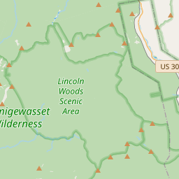
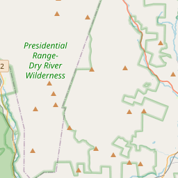
On the map
Last price
—
Floor price
—
7-day median
—
30-day sales
0
30-day range
—
In circulation
0
Price history
median
low – high
sales
No sales in this period
Show table
| Date | median | Low | High | sales |
|---|
Sales history
- Last sale
- —
- 30-day average
- —
- 30-day low
- —
- 30-day high
- —
- Sales 7d
- 0
- Sales 30d
- 0
No sales yet.
Anonymous sales: no buyer or seller shown. Figures count player-to-player sales only.
From Wikipedia
The Presidential Range is a mountain range located in the White Mountains of the U.S. state of New Hampshire. It contains the highest peaks of the Whites, the most notable of which are named for American presidents, followed by prominent public figures of the 18th and 19th centuries. The Presidential Range is notorious for having some of the worst weather on Earth, mainly because of the unpredictability of high wind speeds and whiteout conditions on the higher summits. Because of the poor weather conditions, the Presidential Range is often used for mountaineering training for those who go on to climb some of the world's highest mountains, including K2 and Everest. Mount Washington, long home of the highest winds recorded on the surface of the Earth at 231 mph (372 km/h), is the tallest at 6,288 ft (1,917 m), followed by neighboring peaks Mount Adams at 5,793 ft (1,766 m) and Mount Jefferson at 5,712 ft (1,741 m). The range is almost entirely in Coos County.
Text: Wikipédia, CC BY-SA 4.0. · Image: The original uploader was Katanaismybike at English Wikipedi... (CC BY 2.5) ·
Related cards

White Mountain Peak
Mountain in United States of America
Nº Q4468440 ★

Whiteface Mountain
Mountain in United States of America
Nº Q3434515 ★★

Mount Washington
Highest mountain in the U.S. state of New Hampshire
Nº Q572801 ★★★
White Mountains (California)
Mountain range in California and Nevada in the United States
Nº Q1433957 ★

Pikes Peak
Mountain in the Rocky Mountains, Colorado, United States
Nº Q665321 ★★★

Black Hills
Mountain range in South Dakota and Wyoming and holy site of Native Americans
Nº Q250937 ★★★