
Pulau Tekong
North-Eastern island of Singapore
Pulau Tekong (Singapore English pronunciation: TUH-kong), also known as Tekong or Tekong Island, is Singapore's largest outlying island. It lies off the northeastern coast of the mainland, to the east of Pulau Ubin.
Nº Q2611322 ★★
Uncommon · Places
Pulau Tekong
North-Eastern island of Singapore
Pulau Tekong (Singapore English pronunciation: TUH-kong), also known as Tekong or Tekong Island, is Singapore's largest outlying island. It lies off the northeastern coast of the mainland, to the east of Pulau Ubin.
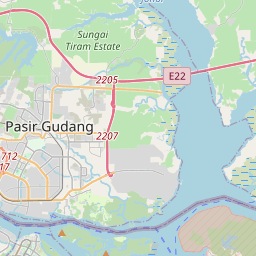
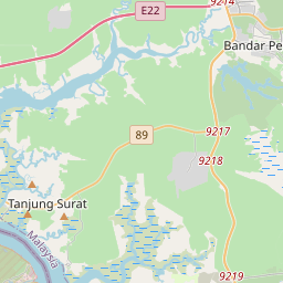
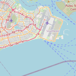
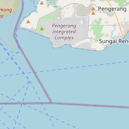
On the map
Last price
—
Floor price
—
7-day median
—
30-day sales
0
30-day range
—
In circulation
0
Price history
median
low – high
sales
No sales in this period
Show table
| Date | median | Low | High | sales |
|---|
Sales history
- Last sale
- —
- 30-day average
- —
- 30-day low
- —
- 30-day high
- —
- Sales 7d
- 0
- Sales 30d
- 0
No sales yet.
Anonymous sales: no buyer or seller shown. Figures count player-to-player sales only.
From Wikipedia
Pulau Tekong (Singapore English pronunciation: TUH-kong), also known as Tekong or Tekong Island, is Singapore's largest outlying island. It lies off the northeastern coast of the mainland, to the east of Pulau Ubin. Since the 1980s, Pulau Tekong has been used by the Singapore Armed Forces (SAF) as a restricted military training ground, with public access prohibited. Transport for permitted personnel is provided via the SAF Changi Ferry Terminal located at Changi Beach. Historically, various pre-colonial maps recorded the island under different names, and the origins of the name "Tekong" remain the subject of several theories. Pulau Tekong was previously inhabited by a multi-ethnic population of Malays, Chinese and Indians who established agricultural and fishing kampongs across the island. During the British colonial period, the island played a modest role in regional trade and rubber and vegetable farming sustained its economy. During the Japanese occupation of Singapore, residents of Tekong were subjected to forced labour, and many of the island's villages were eventually abandoned following the war. Since the 1980s, Pulau Tekong has undergone significant land reclamation to support the Singaporean military. The original island, measuring about 25 km2 (6,178-acre), was expanded through reclamation along the northwestern coast by absorbing nearby islets, including the former 89-hectare (220-acre) Pulau Tekong Kechil. As of now, its total land area is around 40 km2 (9,884-acre), following the completion of the northwestern polder project. Further reclamation works, particularly along the southern coast, are still underway. Once fully completed, Pulau Tekong is projected to reach a total area of between 60 km2 (14,830 acres) and 75 km2 (18,530 acres).
Text: Wikipédia, CC BY-SA 4.0. · Image: Pulau Tekong BMTC.JPG: Tunafish1990. Derivative work: Amada4... (CC BY-SA 3.0) ·
Related cards

Pulau Ubin
North-Eastern Island of Singapore
Nº Q1928550 ★

Jurong Island
Island in Singapore
Nº Q2383204 ★

Sentosa
Island off the south coast of the main island of Singapore
Nº Q870844 ★★

Changi
Area at the eastern end of Singapore
Nº Q1812824 ★

Changi Prison
Former Japanese prison in Singapore
Nº Q1763931 ★★

Temasek
Settlement on the site of modern Singapore
Nº Q4918669 ★★