

Common · Places
Pulborough
Village and civil parish in West Sussex, England
Pulborough is a village and civil parish in the Horsham district of West Sussex, England, with some 5,000 inhabitants. It is located almost centrally within West Sussex and is 42 miles (68 km) south west of London. It is at the junction of the north–south A29 and the east–west A283 roads.
On the map
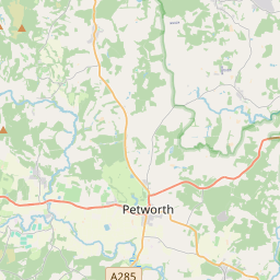
From Wikipedia
Pulborough is a village and civil parish in the Horsham district of West Sussex, England, with some 5,000 inhabitants. It is located almost centrally within West Sussex and is 42 miles (68 km) south west of London. It is at the junction of the north–south A29 and the east–west A283 roads. The village is near the confluence of the River Arun and the River Rother, on the Stane Street Roman road from London to Chichester. It looks southwards over the broad flood plain of the tidal Arun to a backdrop of the South Downs. It is on the northern boundary of the newly established South Downs National Park. The parish covers an area of 5,183 acres (2,098 hectares). Its twelfth-century parish church, St. Mary's Church, is dedicated to the Virgin Mary. In the 2001 census there were 4,685 people living in 1,976 households within the parish, of whom 2,333 were economically active. In the 2011 census, the population of Bignor was included, and the total population of the parish was 5,206.
Text: Wikipédia, CC BY-SA 4.0. · Image: Poliphilo (CC0) ·


