

Uncommon · Places
Punta Carretas
Neighbourhood in Montevideo (Uruguay)
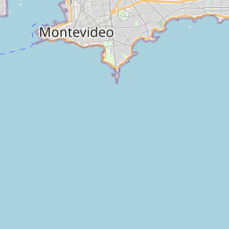
Punta Carretas is a barrio (neighbourhood or district) of Montevideo, Uruguay. Politically located in the Municipality CH, it is an affluent neighborhood, with a high population density and a large number of high-rise apartment buildings.
Read more
It is also an area with a large presence of exclusive private schools, international stores, haute cuisine restaurants and embassies. Punta Carretas borders Parque Rodó to the north and west, Pocitos to the east and northeast, and the coastline to the south. It is the southernmost neighborhood of the city. The area is bounded by Artigas Boulevard, the Rambla to the south and west, Sarmiento Avenue to the north, and Calle Juan María Pérez to the east and northeast. Its main roads are José Ellauri and 21 de Septiembre avenues. The area that the neighborhood currently occupies was named Punta Brava by sailors, due to a rock that stretches out underwater and caused several shipwrecks. Later, it was called Punta Carretas, due to the shape of said rock, which resembled a cart (Spanish: Carreta). In the 1870s, the 21-meter Punta Brava Lighthouse was built, which during its early years was known as "La Farola".
On the map


Text: Wikipédia, CC BY-SA 4.0. · Image: Marcelo Campi (CC BY-SA 3.0) ·