

Uncommon · Places
Rafat, Jerusalem
Village council in Jerusalem Governorate
Rafat (Arabic: رافات) is a Palestinian town in the Jerusalem Governorate of the State of Palestine, located approximately 4 km (2.5 mi) southwest of the city of Ramallah in the central West Bank. According to the Palestinian Central Bureau of Statistics, it had a population of 2,941 in 2017.
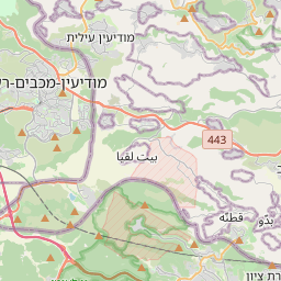
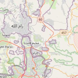
On the map
From Wikipedia
Rafat (Arabic: رافات) is a Palestinian town in the Jerusalem Governorate of the State of Palestine, located approximately 4 km (2.5 mi) southwest of the city of Ramallah in the central West Bank. According to the Palestinian Central Bureau of Statistics, it had a population of 2,941 in 2017. Its total land area consists of 3,773 dunams. Rafat is located 10.9 km (6.8 mi) northwest of Jerusalem. It is bordered by Qalandiya to the east, Al Judeira to the north, Ramallah to the west, and Beituniya to the south. Ceramics from the Byzantine era have been found here. Rafat, like the rest of Palestine, was incorporated into the Ottoman Empire in 1517, and in the census of 1596, the village was noted in the Nahiya of Quds of the Liwa of Quds. The population was 27 households, all Muslim. The villagers paid a fixed tax rate of 33.3% on various agricultural products, such as wheat, barley, summer crops, goats and/or beehives, in addition to "occasional revenues"; a total of 3,300 akçe. In 1838, Rafat was noted as a Muslim village in the Jerusalem District.
Text: Wikipédia, CC BY-SA 4.0. · Image: יעקב (CC BY-SA 3.0) ·