

Common · Places
Rainy Lake
Lake in Ontario, Canada and Minnesota, United States
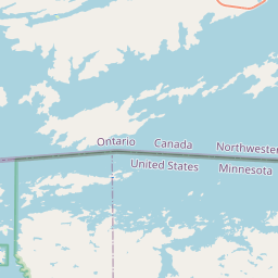
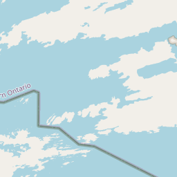
Rainy Lake (French: lac à la Pluie; Ojibwe: gojiji-zaaga'igan) is a freshwater lake with a surface area of 930 km2 (360 sq mi) that straddles the border between the United States and Canada. The Rainy River issues from the west side of the lake.
On the map
From Wikipedia
Rainy Lake (French: lac à la Pluie; Ojibwe: gojiji-zaaga'igan) is a freshwater lake with a surface area of 930 km2 (360 sq mi) that straddles the border between the United States and Canada. The Rainy River issues from the west side of the lake. Today it is harnessed to make hydroelectricity for United States (US) and Canadian locations. International Falls, Minnesota and the much smaller city of Ranier, Minnesota are situated opposite Fort Frances, Ontario, on either side of the Rainy River. Rainy Lake and Rainy River establish part of the boundary between the U.S. state of Minnesota and the Canadian province of Ontario. Voyageurs National Park is located on the southeastern corner of the lake, where it connects with Kabetogama and Namakan lakes at Kettle Falls. Rainy Lake is part of an extremely large system of lakes forming the Hudson Bay drainage basin that stretches from west of Lake Superior north to the Arctic Ocean. The Rainy Lake watershed includes the Boundary Waters Canoe Area Wilderness (BWCA), portions of the Superior National Forest on the Us side of the border, and the Quetico Provincial Park on the Canadian side of the border. For exploration and fur trade history, see Winnipeg River and additional references below.
Text: Wikipédia, CC BY-SA 4.0. · Image: Copernicus Sentinel-2, ESA (CC BY-SA 3.0 igo) ·
Related cards
-
 ★
★
Kootenay Lake
Lake in British Columbia, Canada
-
 ★
★
Columbia Lake
Lake in British Columbia, Canada
-
 ★★
★★
Lake Saint Francis (Canada)
Lake in Ontario and Quebec, Canada, and New York, United States
-
 ★★
★★
Boundary Waters
Wilderness area on the US-Canadian Border
-
 ★★
★★
Williston Lake
Large reservoir in British Columbia, Canada
-
 ★
★
Red Lake (Minnesota)
Lake in Beltrami County, Minnesota, United States