
Rangpur Division
Division of Bangladesh
Rangpur Division (; Bengali: রংপুর বিভাগ, romanized: Rongpur Bivag; pronounced [rɔŋpuɾ bibʱag] ) is a first-level administrative division of Bangladesh. It covers the northernmost part of the country with a population of about 18 million inhabitants within an area of 16,184.99 km2 (6,249.06 sq mi).
Nº Q876023 ★
Common · Places
Rangpur Division
Division of Bangladesh
Rangpur Division (; Bengali: রংপুর বিভাগ, romanized: Rongpur Bivag; pronounced [rɔŋpuɾ bibʱag] ) is a first-level administrative division of Bangladesh. It covers the northernmost part of the country with a population of about 18 million inhabitants within an area of 16,184.99 km2 (6,249.06 sq mi).
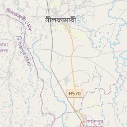
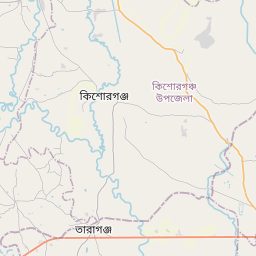
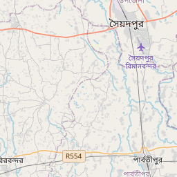
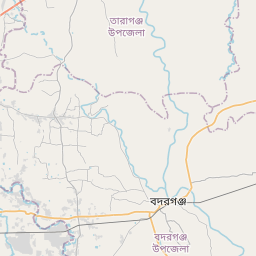
On the map
Last price
—
Floor price
—
7-day median
—
30-day sales
0
30-day range
—
In circulation
0
Price history
median
low – high
sales
No sales in this period
Show table
| Date | median | Low | High | sales |
|---|
Sales history
- Last sale
- —
- 30-day average
- —
- 30-day low
- —
- 30-day high
- —
- Sales 7d
- 0
- Sales 30d
- 0
No sales yet.
Anonymous sales: no buyer or seller shown. Figures count player-to-player sales only.
From Wikipedia
Rangpur Division (; Bengali: রংপুর বিভাগ, romanized: Rongpur Bivag; pronounced [rɔŋpuɾ bibʱag] ) is a first-level administrative division of Bangladesh. It covers the northernmost part of the country with a population of about 18 million inhabitants within an area of 16,184.99 km2 (6,249.06 sq mi). Rangpur Division shares borders with the Rajshahi and Mymensingh divisions. It is also bordered by the Indian states of West Bengal, Assam and Meghalaya and separated from Bhutan and Nepal by the Siliguri Corridor, and from China by the Indian state of Sikkim. Rangpur City is the administrative headquarter and the largest city. Rangpur Division includes the Teesta and Jamuna rivers. The Rangpur division consists of eight districts. There are 58 upazilas or subdistricts under these eight districts. The major cities of Rangpur Division are Rangpur, Dinajpur, and Saidpur.
Text: Wikipédia, CC BY-SA 4.0. · Image: Earth Science and Remote Sensing Unit, Lyndon B. Johnson Spa... (Public domain) ·
Related cards

Sylhet Division
Division of Bangladesh
Nº Q459732 ★★

Bangladesh
Country in South Asia
Nº Q902 ★★★★★★

Dhaka Division
Administrative division of Bangladesh
Nº Q330158 ★

Barisal Division
Division of Bangladesh
Nº Q459723 ★

Chittagong Division
Division of Bangladesh
Nº Q158087 ★★

Sikkim
State in northeastern India
Nº Q1505 ★★★★