
Rangrim Mountains
Mountain range
The Rangnim Mountains are a mountain range stretching from north to south, west of the Kaema Highlands, in central northern North Korea. They are the source of several major rivers of North Korea, such as the Taedong and the Ch'ŏngch'ŏn. The mountain range is generally highest in the east, and falls towards the west.
Nº Q492785 ★★
Uncommon · Places
Rangrim Mountains
Mountain range
The Rangnim Mountains are a mountain range stretching from north to south, west of the Kaema Highlands, in central northern North Korea. They are the source of several major rivers of North Korea, such as the Taedong and the Ch'ŏngch'ŏn. The mountain range is generally highest in the east, and falls towards the west.
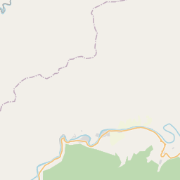
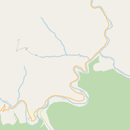
On the map
Last price
—
Floor price
—
7-day median
—
30-day sales
0
30-day range
—
In circulation
0
Price history
median
low – high
sales
No sales in this period
Show table
| Date | median | Low | High | sales |
|---|
Sales history
- Last sale
- —
- 30-day average
- —
- 30-day low
- —
- 30-day high
- —
- Sales 7d
- 0
- Sales 30d
- 0
No sales yet.
Anonymous sales: no buyer or seller shown. Figures count player-to-player sales only.
From Wikipedia
The Rangnim Mountains are a mountain range stretching from north to south, west of the Kaema Highlands, in central northern North Korea. They are the source of several major rivers of North Korea, such as the Taedong and the Ch'ŏngch'ŏn. The mountain range is generally highest in the east, and falls towards the west. Its highest peak is Wagalbong, at 2,260 m. Lake Rangrim is located in the mountains.
Text: Wikipédia, CC BY-SA 4.0. · Image: Sadalmelik + Gemini1980 (CC BY-SA 4.0) ·
Related cards
Kaema Plateau
Landform
Nº Q703742 ★

Kyushu Mountains
Mountain range in Kyushu, Japan
Nº Q11370238 ★★

Mount Paektu
Volcano on the border between North Korea and China
Nº Q107635 ★★★★

Changbai Mountains
Mountain range in China and North Korea
Nº Q512139 ★★

Gaoligong Mountains
Mountain range
Nº Q1493800 ★★★

Karakoram
Major mountain range spanning the borders between India, Pakistan, and China
Nº Q5469 ★★★★★