
Rhayader
Town in Wales, Radnorshire, UK
Rhayader (; Welsh: Rhaeadr Gwy; pronounced [ˈr̥əɪadar ˈɡʊi̯]) is a market town and community in Powys, Wales, within the historic county of Radnorshire. The town is 20 miles (32 km) from the source of the River Wye on Plynlimon, the highest point of the Cambrian Mountains, and is located at the junction of the A470 road and the A44 road 13 miles (21 km) north of Builth Wells and 30 miles (48 km) east of Aberystwyth.
Nº Q1681386 ★★
Uncommon · Places
Rhayader
Town in Wales, Radnorshire, UK
Rhayader (; Welsh: Rhaeadr Gwy; pronounced [ˈr̥əɪadar ˈɡʊi̯]) is a market town and community in Powys, Wales, within the historic county of Radnorshire. The town is 20 miles (32 km) from the source of the River Wye on Plynlimon, the highest point of the Cambrian Mountains, and is located at the junction of the A470 road and the A44 road 13 miles (21 km) north of Builth Wells and 30 miles (48 km) east of Aberystwyth.
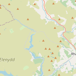
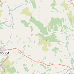
On the map
Last price
—
Floor price
—
7-day median
—
30-day sales
0
30-day range
—
In circulation
0
Price history
median
low – high
sales
No sales in this period
Show table
| Date | median | Low | High | sales |
|---|
Sales history
- Last sale
- —
- 30-day average
- —
- 30-day low
- —
- 30-day high
- —
- Sales 7d
- 0
- Sales 30d
- 0
No sales yet.
Anonymous sales: no buyer or seller shown. Figures count player-to-player sales only.
From Wikipedia
Rhayader (; Welsh: Rhaeadr Gwy; pronounced [ˈr̥əɪadar ˈɡʊi̯]) is a market town and community in Powys, Wales, within the historic county of Radnorshire. The town is 20 miles (32 km) from the source of the River Wye on Plynlimon, the highest point of the Cambrian Mountains, and is located at the junction of the A470 road and the A44 road 13 miles (21 km) north of Builth Wells and 30 miles (48 km) east of Aberystwyth. The 2011 census recorded the population at 2,088, with 55% of the community having some form of Welsh identity. The community is the largest in Wales by area, with 137.31 km2 (53.02 sq mi). It includes the Elan Valley. Rhayader holds the record for the lowest-ever temperature recorded in Wales, -23.3 °C on 21 January 1940.
Text: Wikipédia, CC BY-SA 4.0. · Image: Outwivcamera (CC BY-SA 4.0) ·
Related cards
-

Ceredigion
Principal area in mid-Wales, corresponding to the historic county of Cardiganshire
Nº Q217829 ★★
Not listed
-

Monmouth
Town in Monmouthshire, Wales, UK
Nº Q156990 ★★
Not listed
-

Radzieje
Village in Warmian-Masurian, Poland
Nº Q2132564 ★
Not listed
-

Llandrindod Wells
Town and community in Powys, Wales, UK
Nº Q1024885 ★
Not listed
-

Powys
Principal area and preserved county in mid-Wales, United Kingdom
Nº Q156150 ★★
Not listed
-

Conwy
Town in Wales
Nº Q634054 ★★
Not listed