

Common · Places
Rickenbach, Solothurn
Municipality in the canton Solothurn, Switzerland
Rickenbach (Swiss Standard German pronunciation: [ˈrɪkn̩bax]) is a municipality in the district of Olten in the canton of Solothurn in Switzerland.
Read more
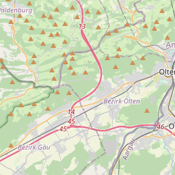
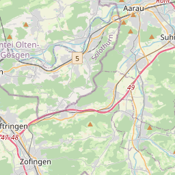
Rickenbach is first mentioned in 1288 as Richenbach. Rickenbach has an area, as of 2009, of 2.76 square kilometers (1.07 sq mi). Of this area, 0.86 km (0.33 sq mi) or 31.2% is used for agricultural purposes, while 1.46 km (0.56 sq mi) or 52.9% is forested. Of the rest of the land, 0.48 km (0.19 sq mi) or 17.4% is settled (buildings or roads). Of the built up area, industrial buildings made up 4.0% of the total area while housing and buildings made up 8.3% and transportation infrastructure made up 4.3%. Out of the forested land, 50.7% of the total land area is heavily forested and 2.2% is covered with orchards or small clusters of trees. Of the agricultural land, 14.1% is used for growing crops and 17.0% is pastures. The municipality is located in the Olten district, at the southern foot of the Jura Mountains on the alluvial fan of a stream that feeds into the Dünnern river. The blazon of the municipal coat of arms is Gules St. Lawrence Argent statant holding in his dexter hand a Grill and in his sinister hand a Palm Branch.
On the map
Text: Wikipédia, CC BY-SA 4.0. · Image: Dietrich Michael Weidmann (CC BY-SA 3.0) ·