
River Clyde
River in Scotland rising in Lanarkshire and flowing through Glasgow to the Firth of Clyde
The River Clyde ( ; Scottish Gaelic: Abhainn Chluaidh, pronounced [ˈavɪɲ ˈxl̪ˠuəj]) is a major river of western Scotland and the third-longest in the country at about 170 kilometres (110 mi) in length. Its river network extends to 4,244 km and drains a basin of 1,903 km2, expanding to 3,854 km2 when the Clyde estuary system with the Kelvin, White Cart, Black Cart and Leven is included.
Nº Q19721 ★★
Uncommon · Places
River Clyde
River in Scotland rising in Lanarkshire and flowing through Glasgow to the Firth of Clyde
The River Clyde ( ; Scottish Gaelic: Abhainn Chluaidh, pronounced [ˈavɪɲ ˈxl̪ˠuəj]) is a major river of western Scotland and the third-longest in the country at about 170 kilometres (110 mi) in length. Its river network extends to 4,244 km and drains a basin of 1,903 km2, expanding to 3,854 km2 when the Clyde estuary system with the Kelvin, White Cart, Black Cart and Leven is included.
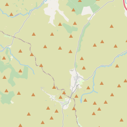
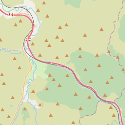
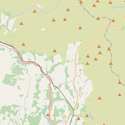
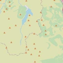
On the map
Last price
—
Floor price
—
7-day median
—
30-day sales
0
30-day range
—
In circulation
0
Price history
median
low – high
sales
No sales in this period
Show table
| Date | median | Low | High | sales |
|---|
Sales history
- Last sale
- —
- 30-day average
- —
- 30-day low
- —
- 30-day high
- —
- Sales 7d
- 0
- Sales 30d
- 0
No sales yet.
Anonymous sales: no buyer or seller shown. Figures count player-to-player sales only.
From Wikipedia
The River Clyde ( ; Scottish Gaelic: Abhainn Chluaidh, pronounced [ˈavɪɲ ˈxl̪ˠuəj]) is a major river of western Scotland and the third-longest in the country at about 170 kilometres (110 mi) in length. Its river network extends to 4,244 km and drains a basin of 1,903 km2, expanding to 3,854 km2 when the Clyde estuary system with the Kelvin, White Cart, Black Cart and Leven is included. Around 1.79 million people, 33.8% of Scotland's population, live within this catchment. The river rises in the Lowther Hills and flows north-west through South Lanarkshire and Glasgow before deepening into the Firth of Clyde past the Tail of the Bank off Greenock. Shoals and shallows meant only small vessels could use the river, and in 1688 Glasgow merchants built Port Glasgow 5.4 kilometres (3.4 mi) upriver for seagoing ships. From the late 18th century the upper estuary and river through Glasgow were systematically engineered using groynes, longitudinal training walls and continuous dredging, and by removing rocky obstructions such as a large part of the Elderslie Rock. This enabled ocean-going access and supported Glasgow's rise as a world centre of shipbuilding and marine engineering in the 19th and 20th centuries. Greenock Ocean Terminal brought container shipping to the Clyde in 1969, and most commercial deep-water functions migrated down the estuary, while the upper river corridor has seen major regeneration in Glasgow. Environmental quality has improved from historic industrial lows, though legacy contaminants and periodic low-oxygen episodes in the outer firth have been reported.
Text: Wikipédia, CC BY-SA 4.0. · Image: 瑞丽江的河水 (CC BY-SA 4.0) ·
Related cards

Firth of Clyde
Mouth or estuary of the River Clyde, Scotland, UK
Nº Q35654 ★★

River Tay
River in Perth and Kinross, and Stirling, Scotland, UK, flows into the North Sea at the Firth of Tay
Nº Q19719 ★★

Lanarkshire
Historic county of Scotland, UK
Nº Q530296 ★★

Clydebank
Town in West Dunbartonshire, Scotland, UK
Nº Q996502 ★★

River Severn
River in the United Kingdom
Nº Q19682 ★★★

Isle of Arran
The largest island in the Firth of Clyde, Scotland
Nº Q211873 ★★★