
Romsdalsfjord
Fjord in Norway
Romsdalsfjorden (Norwegian) or Romsdal Fjord (English) is the ninth-longest fjord in Norway. The 88-kilometre (55 mi) long fjord is located in the Romsdal district of Møre og Romsdal county. It flows through the municipalities of Molde, Haram, Vestnes, and Rauma.
Nº Q2106298 ★
Common · Places
Romsdalsfjord
Fjord in Norway
Romsdalsfjorden (Norwegian) or Romsdal Fjord (English) is the ninth-longest fjord in Norway. The 88-kilometre (55 mi) long fjord is located in the Romsdal district of Møre og Romsdal county. It flows through the municipalities of Molde, Haram, Vestnes, and Rauma.
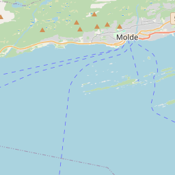
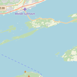
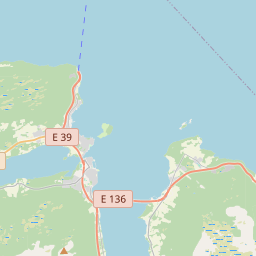
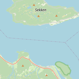
On the map
Last price
—
Floor price
—
7-day median
—
30-day sales
0
30-day range
—
In circulation
0
Price history
median
low – high
sales
No sales in this period
Show table
| Date | median | Low | High | sales |
|---|
Sales history
- Last sale
- —
- 30-day average
- —
- 30-day low
- —
- 30-day high
- —
- Sales 7d
- 0
- Sales 30d
- 0
No sales yet.
Anonymous sales: no buyer or seller shown. Figures count player-to-player sales only.
From Wikipedia
Romsdalsfjorden (Norwegian) or Romsdal Fjord (English) is the ninth-longest fjord in Norway. The 88-kilometre (55 mi) long fjord is located in the Romsdal district of Møre og Romsdal county. It flows through the municipalities of Molde, Haram, Vestnes, and Rauma. The deepest point in the fjord is just southwest of the town of Molde, where it is 550 metres (1,800 ft) deep. The fjord is a threshold-fjord, as it is separated from the ocean by a 180-metre (590 ft) deep shallower areas at the mouth. Several islands and skerries also shelter the wide central fjord from the Atlantic. The western inlet of the fjord is generally considered to be between the island of Dryna (in Molde Municipality) and the village of Brattvåg (in Haram Municipality). A second inlet is to the north, through the Julsundet strait, bound by the island of Otrøya to the west and Molde Municipality to the east. The fjord branches off to the minor Tresfjorden and Tomrefjorden to the south, while the main body continues an east–west bound direction. The fjord then forks into three main branches: Moldefjorden (which flows into the Fannefjord) runs past the city of Molde north of the Molde Archipelago; Langfjorden, the longer arm of the fjord, with its branches Karlsøyfjorden, Rødvenfjorden, and the picturesque Eresfjorden, in the middle; and finally the southern arm past the town of Åndalsnes, terminating in Isfjorden. From Eastern Norway, the fjord can be reached through the Gudbrandsdalen valley in Lesja Municipality, down the Romsdal valley to Åndalsnes. This is also the terminus of the Rauma Line. Veøya—the holy island—is located at a junction between the three main branches of the fjord. This island was the foremost medieval trading center between Trondheim and Bergen. The Medieval Church of St. Peter (Old Veøy Church), from the late 12th...
Text: Wikipédia, CC BY-SA 4.0. · Image: Sergey Ashmarin (CC BY-SA 3.0) ·
Related cards
-

Nordfjorden (Vestland)
106 km fjord in Norway
Nº Q1518524 ★★★
Not listed
-

Trondheim Fjord
Inlet of the Norwegian Sea in Norway
Nº Q279579 ★★
Not listed
-

Aurlandsfjord
Fjord in Vestland, Norway
Nº Q776482 ★★
Not listed
-

Møre og Romsdal
County of Norway
Nº Q50627 ★★★
Not listed
-

Romsdalen
Valley in Romsdal, Norway
Nº Q3498134 ★★
Not listed
-

Romsdal
District in Møre og Romsdal, Norway
Nº Q1467860 ★
Not listed