
Roxbury, Boston
Dissolved municipality and current neighborhood of Boston, Massachusetts, United States
Roxbury () is a neighborhood in Boston, Massachusetts, United States. Roxbury is a dissolved municipality and one of 23 official neighborhoods of Boston used by the city for neighborhood services coordination. The city states that Roxbury serves as the "heart of Black culture in Boston."
Nº Q20138 ★★
Uncommon · Places
Roxbury, Boston
Dissolved municipality and current neighborhood of Boston, Massachusetts, United States
Roxbury () is a neighborhood in Boston, Massachusetts, United States. Roxbury is a dissolved municipality and one of 23 official neighborhoods of Boston used by the city for neighborhood services coordination. The city states that Roxbury serves as the "heart of Black culture in Boston."
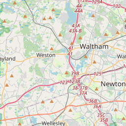
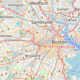
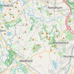
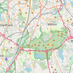
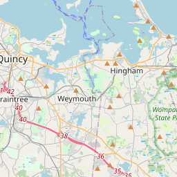
On the map
Last price
—
Floor price
—
7-day median
—
30-day sales
0
30-day range
—
In circulation
0
Price history
median
low – high
sales
No sales in this period
Show table
| Date | median | Low | High | sales |
|---|
Sales history
- Last sale
- —
- 30-day average
- —
- 30-day low
- —
- 30-day high
- —
- Sales 7d
- 0
- Sales 30d
- 0
No sales yet.
Anonymous sales: no buyer or seller shown. Figures count player-to-player sales only.
From Wikipedia
Roxbury () is a neighborhood in Boston, Massachusetts, United States. Roxbury is a dissolved municipality and one of 23 official neighborhoods of Boston used by the city for neighborhood services coordination. The city states that Roxbury serves as the "heart of Black culture in Boston." Roxbury was one of the first towns founded in the Massachusetts Bay Colony in 1630, and became a city in 1846 before being annexed to Boston on January 5, 1868. The original boundaries of the Town of Roxbury can be found in Drake's History of Roxbury and its noted Personages. Those boundaries include the modern day Longwood, Mission Hill, and Symphony neighborhoods, including the Christian Science Center, the Prudential Center (built on the old Roxbury Railroad Yards), and everything south and east of the Muddy River, including Symphony Hall, Northeastern University, Boston Latin School, Madison Park Technical Vocational High School, John D. O'Bryant School of Mathematics & Science, Roxbury Community College, YMCA, Harvard Medical School, and many hospitals and schools in the area. Franklin Park, once entirely within Roxbury when Jamaica Plain, West Roxbury and Roslindale were villages within the town of Roxbury until 1854, has been divided with the line between Jamaica Plain and Roxbury located in the vicinity of Peter Parley Road on Walnut Avenue, through the park to Columbia Road. Here, Walnut Avenue changes its name to Sigourney Street, indicating the area is now Jamaica Plain. One side of Columbia Road is Roxbury, the other Dorchester. Melnea Cass Boulevard is located approximately over the Roxbury Canal that brought boats into Roxbury, bypassing the busy port of Boston in the 1830s. The neighborhood has also formed community gardens and developed the first urban farm of the city in accordance to the adoption of article 89, Urban Agricultural Ordinance, which provides framework for creating...
Text: Wikipédia, CC BY-SA 4.0. · Image: Brian Corr (Bcorr at French Wikipedia) (CC BY-SA 3.0) ·
Related cards

Jamaica Plain
Neighborhood in Boston, Massachusetts, United States
Nº Q985993 ★★

Dorchester, Boston
Neighborhood in Boston, Massachusetts
Nº Q1024037 ★★

Brookline, Massachusetts
Town in Norfolk County, Massachusetts, United States
Nº Q49142 ★★★

Back Bay, Boston
Neighborhood in Boston, Massachusetts
Nº Q141690 ★★

History of Massachusetts
Aspect of history
Nº Q3137724 ★

South Boston
Neighborhood of Boston, Massachusetts, United States
Nº Q1759693 ★★