
Ruislip
Area in the London borough of Hillingdon, England
Ruislip ( RY-slip) is a suburb in the Hillingdon borough of West London. Prior to 1965, it was in Middlesex. Ruislip lies 13.8 miles (22.2 km) west-north-west of Charing Cross.
Nº Q2379971 ★★
Uncommon · Places
Ruislip
Area in the London borough of Hillingdon, England
Ruislip ( RY-slip) is a suburb in the Hillingdon borough of West London. Prior to 1965, it was in Middlesex. Ruislip lies 13.8 miles (22.2 km) west-north-west of Charing Cross.
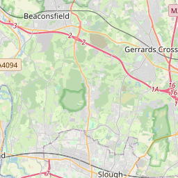
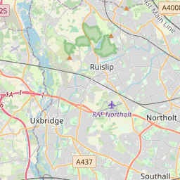
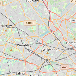
On the map
Last price
—
Floor price
—
7-day median
—
30-day sales
0
30-day range
—
In circulation
0
Price history
median
low – high
sales
No sales in this period
Show table
| Date | median | Low | High | sales |
|---|
Sales history
- Last sale
- —
- 30-day average
- —
- 30-day low
- —
- 30-day high
- —
- Sales 7d
- 0
- Sales 30d
- 0
No sales yet.
Anonymous sales: no buyer or seller shown. Figures count player-to-player sales only.
From Wikipedia
Ruislip ( RY-slip) is a suburb in the Hillingdon borough of West London. Prior to 1965, it was in Middlesex. Ruislip lies 13.8 miles (22.2 km) west-north-west of Charing Cross. The manor of Ruislip appears in the Domesday Book, and some of the earliest settlements still exist today, designated as local heritage sites. The parish church, St Martin's, dates back to the 13th century and remains in use. The buildings at the northern end of Ruislip High Street form the core of the original village square and are now Grade II listed. The High Street originally featured a central water pump, but this was moved out of the road in the 1970s as a result of increased traffic. The expansion of the Metropolitan Railway from Harrow in the early 20th century acted as a catalyst for development in the area. Ruislip station opened in 1904, and a new urban district was created to reflect the forthcoming population growth; the Ruislip-Northwood Urban District split from the Uxbridge Rural District and continued until 1965, when Ruislip became part of the newly established London Borough of Hillingdon. Major landmarks in the area include Ruislip Lido, a former reservoir, now an area of public parkland with its own miniature railway and Manor Farm, a settlement dating from the 9th century which is now designated as a local heritage site. Ruislip is included within the Ruislip, Northwood and Pinner and Uxbridge and South Ruislip parliamentary constituencies and is covered by three electoral wards within the local council. As of the 2024 general election, Ruislip is represented by 1 Conservative MP and 1 Labour MP, with David Simmonds representing the former and Danny Beales representing the latter.
Text: Wikipédia, CC BY-SA 4.0. · Image: Andrew Hackney (CC BY-SA 2.0) ·
Related cards

Northwood, London
Settlement in the London Borough of Hillingdon, England
Nº Q2090609 ★★

Willesden
Town of London and former civil parish
Nº Q146702 ★★

Richmond, London
Town in London, England
Nº Q2500974 ★★★

Ealing
Area in the London Borough of Ealing, England, UK
Nº Q83726 ★★★

Surbiton
Suburban area of south-west London within the Royal Borough of Kingston upon Thames, England
Nº Q2453259 ★★

Cricklewood
Area spanning the border of the London Boroughs of Brent and Camden
Nº Q149830 ★