
Saane/Sarine
Left tributary of the Aare in Switzerland
The Sarine (French: [saʁin]; Arpitan: Sarena [ʃaʁˈnɑ] ) or Saane (German: [ˈzaːnə]) is a major river of Switzerland. It is 128 km (80 mi) long and has a drainage area of 1,892 km2 (731 sq mi). It is a tributary of the Aare.
Nº Q14333 ★★★
Rare · Places
Saane/Sarine
Left tributary of the Aare in Switzerland
The Sarine (French: [saʁin]; Arpitan: Sarena [ʃaʁˈnɑ] ) or Saane (German: [ˈzaːnə]) is a major river of Switzerland. It is 128 km (80 mi) long and has a drainage area of 1,892 km2 (731 sq mi). It is a tributary of the Aare.
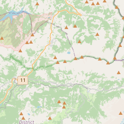
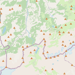
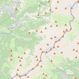
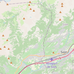
On the map
Last price
—
Floor price
—
7-day median
—
30-day sales
0
30-day range
—
In circulation
0
Price history
median
low – high
sales
No sales in this period
Show table
| Date | median | Low | High | sales |
|---|
Sales history
- Last sale
- —
- 30-day average
- —
- 30-day low
- —
- 30-day high
- —
- Sales 7d
- 0
- Sales 30d
- 0
No sales yet.
Anonymous sales: no buyer or seller shown. Figures count player-to-player sales only.
From Wikipedia
The Sarine (French: [saʁin]; Arpitan: Sarena [ʃaʁˈnɑ] ) or Saane (German: [ˈzaːnə]) is a major river of Switzerland. It is 128 km (80 mi) long and has a drainage area of 1,892 km2 (731 sq mi). It is a tributary of the Aare. The Sarine rises in the Bernese Alps, near Sanetschhorn, in the Canton of Valais. It forms the Lac de Sénin (French; German: Sanetschsee) reservoir at 2034 m, and then enters the Canton of Bern, traversing the Sanetsch falls between 1900 and 1400 m. It then forms the westernmost valley of the Bernese Oberland, flowing past Gsteig, Gstaad and Saanen in the Obersimmental-Saanen district. Downstream of Saanen, at 982 m, it enters the Canton of Vaud, passing Rougemont, Château-d'Œx and Rossinière, forming the Lac du Vernex at 859 m. At 833, it traverses the Creux de l'Enfer and enters the Canton of Fribourg, forming Lac de Montbovon at 777 m.From this point, it more or less follows the linguistic boundary between French- and German-speaking Switzerland across the bilingual canton of Fribourg (and is often identified as the geographic representation of the Röstigraben division of Switzerland). Passing Villars-sous-Mont, Enney, Gruyères and Broc, it reaches Lac de la Gruyère at 677 m. It then continues in serpentines towards Fribourg itself; the historical city was built in 1157 on a peninsula of the Sarine, protected on three sides by steep cliffs. Downstream of Fribourg, it widens into the Schiffenensee reservoir at 532 m (built 1963), and is then taken to Laupen in a channel, where it is joined by the Sense. Flowing north for another 6 km, it finally joins the Aar just downstream of Wohlensee, at 461 m, some 15 km (9.3 mi) west of Bern.
Text: Wikipédia, CC BY-SA 4.0. · Image: Wikimedia Commons (CC BY 2.0) ·
Related cards

Schiffenensee
Reservoir in the canton of Fribourg, Switzerland
Nº Q670622 ★★

Saâne
River in France
Nº Q3474763 ★★★

Aare
River in Switzerland and tributary of the Rhine
Nº Q1675 ★★★★

Rhine
River in Western Europe to the North Sea
Nº Q584 ★★★★★★

Lake Sarnen
Lake in at Sarnen, canton of Obwalden, Switzerland
Nº Q14505 ★★

Lauenensee
Lake in canton of Bern, Switzerland
Nº Q487809 ★★