

Uncommon · Places
Sabbarin
Village in Haifa, Mandatory Palestine
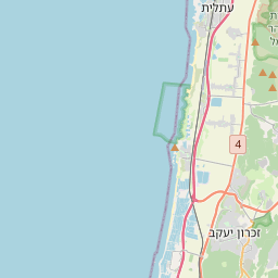
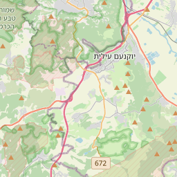
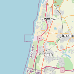
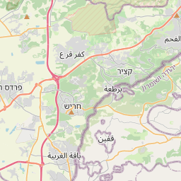
Sabbarin or Subbarin (Arabic: صبارين), was a Palestinian Arab village located 28 kilometers south of Haifa. It was depopulated and destroyed during the 1948 Palestine war as part of the 1948 Palestinian expulsion and the Nakba.
On the map
From Wikipedia
Sabbarin or Subbarin (Arabic: صبارين), was a Palestinian Arab village located 28 kilometers south of Haifa. It was depopulated and destroyed during the 1948 Palestine war as part of the 1948 Palestinian expulsion and the Nakba. In 1859 Subbarin had about 600 inhabitants, who cultivated 55 faddans (1 faddan =100-250 dunums) of land. The French explorer Victor Guérin visited the village in 1870, and noted that the villagers cultivated sesame. A well, called Bir Sabbarin, appeared well built. The village had an estimated 1000 inhabitants, with homes constructed of stones or adobe. In the 1882, the PEF's Survey of Western Palestine described Sabbarin as a "large" village, situated on a slope. The well was said to be the head of the Caesarea aqueduct. The oval well was 15 feet diameter and 15 feet deep. A population list from about 1887 showed that Subbarin had about 1,160 inhabitants; all Muslims.
Text: Wikipédia, CC BY-SA 4.0. · Image: AnonymousUnknown author (Public domain) ·