
Sagami River
River in Yamanashi and Kanagawa Prefectures, Japan
The Sagami River (相模川, Sagamigawa) is a Class A river in Kanagawa and Yamanashi Prefectures on the island of Honshū, Japan. The name Sagami come from old Sagami Province, which corresponds to present-day Kanagawa prefecture.
Nº Q612253 ★★★
Rare · Places
Sagami River
River in Yamanashi and Kanagawa Prefectures, Japan
The Sagami River (相模川, Sagamigawa) is a Class A river in Kanagawa and Yamanashi Prefectures on the island of Honshū, Japan. The name Sagami come from old Sagami Province, which corresponds to present-day Kanagawa prefecture.
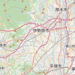
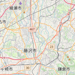
On the map
Last price
—
Floor price
—
7-day median
—
30-day sales
0
30-day range
—
In circulation
0
Price history
median
low – high
sales
No sales in this period
Show table
| Date | median | Low | High | sales |
|---|
Sales history
- Last sale
- —
- 30-day average
- —
- 30-day low
- —
- 30-day high
- —
- Sales 7d
- 0
- Sales 30d
- 0
No sales yet.
Anonymous sales: no buyer or seller shown. Figures count player-to-player sales only.
From Wikipedia
The Sagami River (相模川, Sagamigawa) is a Class A river in Kanagawa and Yamanashi Prefectures on the island of Honshū, Japan. The name Sagami come from old Sagami Province, which corresponds to present-day Kanagawa prefecture. The upper reaches of the river in Yamanashi prefecture are also sometimes known as the Katsura River (桂川, Katsuragawa), and the portion near the river mouth as the Banyu River (馬入川, Banyugawa). The river overall was sometimes referred to as the Ayu River (鮎川, Ayugawa) from the sweetfish (ayu) which were once abundant in its waters. The Sagami River drains Lake Yamanaka, the largest and easternmost of the Fuji Five Lakes in Yamanashi Prefecture. It loops northwest, then northeast through Yamanashi, before following a generally southerly course to exit into Sagami Bay of the Pacific Ocean between the cities of Hiratsuka and Chigasaki. It is dammed at several locations along the way, forming a number of reservoir lakes, the largest of which are Lake Sagami and Lake Tsukui. The river has had to re-cut its course several times due to repeated eruptions of Mount Fuji, and river terraces are in evidence along its upper reaches in Yamanashi. As the river crosses Kanagawa, it forms natural levees in the soft soils of the alluvial plains of central Kanagawa's Sagamino plateau, and forms almost no river delta as it exits into the ocean. The potential of the upper reaches of the Sagami River for hydroelectric power development began to be developed in the 1930s, with the growth of industry and electrical consumption in the Yokohama-Kanagawa industrial belt, and the growing need for a reliable supply of drinking and industrial water. Work on the Sagami Dam began in 1938; however, lack of funding and the advent of World War II delayed completion until after the end of the...
Text: Wikipédia, CC BY-SA 4.0. · Image: Σ64 (CC BY-SA 3.0) ·
Related cards

Sakai River (Kanagawa–Tokyo)
River in Tokyo and Kanagawa
Nº Q6375268 ★★★

Sagami Line
Railway line in Kanagawa Prefecture, Japan
Nº Q1208633 ★★★★

Sagami River Bridge ruins
Kamakura period bridge in Japan
Nº Q11511103 ★★

Sakawa River
River in Japan
Nº Q11644295 ★★★

Kumozu River
River in Japan
Nº Q11660011 ★★

Kashio River
River in Japan
Nº Q6374340 ★★