
Saint Anthony Falls
Waterfall on the Mississippi River in Minneapolis, Minnesota, United States
Saint Anthony Falls, or the Falls of Saint Anthony (Dakota: Owámniyomni, lit. 'whirlpool'), located at the northeastern edge of downtown Minneapolis, Minnesota, was the only natural major waterfall on the Mississippi River. Throughout the mid-to-late 1800s, various dams were built atop the east and west faces of the falls to support the milling industry that spurred the growth of the city of Minneapolis.
Nº Q1752963 ★
Common · Places
Saint Anthony Falls
Waterfall on the Mississippi River in Minneapolis, Minnesota, United States
Saint Anthony Falls, or the Falls of Saint Anthony (Dakota: Owámniyomni, lit. 'whirlpool'), located at the northeastern edge of downtown Minneapolis, Minnesota, was the only natural major waterfall on the Mississippi River. Throughout the mid-to-late 1800s, various dams were built atop the east and west faces of the falls to support the milling industry that spurred the growth of the city of Minneapolis.
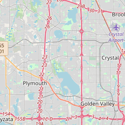
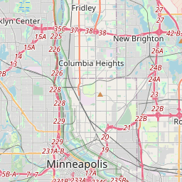
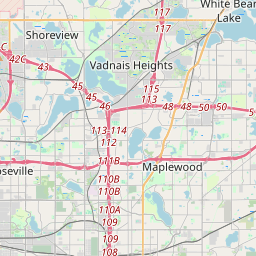
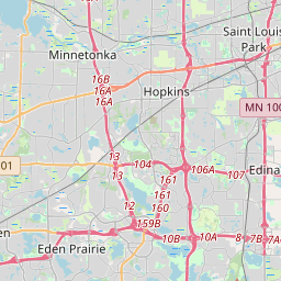
On the map
Last price
—
Floor price
—
7-day median
—
30-day sales
0
30-day range
—
In circulation
0
Price history
median
low – high
sales
No sales in this period
Show table
| Date | median | Low | High | sales |
|---|
Sales history
- Last sale
- —
- 30-day average
- —
- 30-day low
- —
- 30-day high
- —
- Sales 7d
- 0
- Sales 30d
- 0
No sales yet.
Anonymous sales: no buyer or seller shown. Figures count player-to-player sales only.
From Wikipedia
Saint Anthony Falls, or the Falls of Saint Anthony (Dakota: Owámniyomni, lit. 'whirlpool'), located at the northeastern edge of downtown Minneapolis, Minnesota, was the only natural major waterfall on the Mississippi River. Throughout the mid-to-late 1800s, various dams were built atop the east and west faces of the falls to support the milling industry that spurred the growth of the city of Minneapolis. In 1880, the central face of the falls was reinforced with a sloping timber apron to stop the upstream erosion of the falls. In the 1950s, the apron was rebuilt with concrete, which makes up the most visible portion of the falls today. A series of locks were constructed in the 1950s and 1960s to extend navigation to points upstream. The falls were renamed from their Dakota title in 1680 by Father Louis Hennepin after his patron saint, St. Anthony of Padua. The towns of St. Anthony and Minneapolis, which had developed on the east and west sides of the falls, respectively, merged in 1872 to fully use the power of the falls for milling operations. From 1880 to about 1930, Minneapolis was known as the "Flour Milling Capital of the World". Today, the falls are defined by the spillway, the upper dam and the locks, located just downstream of the 3rd Avenue Bridge, and the Lower Lock and Dam, just upstream of the I-35W Saint Anthony Falls Bridge. These locks were built as part of the Upper Mississippi River 9-Foot Navigation Project. The area around the falls is designated the St. Anthony Falls Historic District and features a 1.8-mile (2.9 km) self-guided walking trail with signs explaining the area's past.
Text: Wikipédia, CC BY-SA 4.0. · Image: The original uploader was Mulad at English Wikipedia. (Public domain) ·
Related cards

American Falls
Waterfall of Niagara Falls in Niagara Falls, New York, United States
Nº Q1320475 ★★

Niagara Falls
Three waterfalls that straddle the international border between Canada and the United States
Nº Q34221 ★★★★★

St. Croix River (Wisconsin–Minnesota)
River in Wisconsin and Minnesota, United States
Nº Q1507416 ★

Saint Paul, Minnesota
Capital city of the U.S. state of Minnesota and seat of Ramsey County
Nº Q28848 ★★★

Horseshoe Falls
Waterfall of the Niagara Falls
Nº Q1373778 ★★

Livingstone Falls
Whitewater rapids on the Congo River in the Democratic Republic of the Congo and the Republic of the Congo
Nº Q559340 ★★