


Saint-Aventin
Commune in Haute-Garonne, France
Saint-Aventin is a commune in the Haute-Garonne department in southwestern France. The commune of Saint-Aventin is located in the heart of the Pyrenees, and extends from the Larboust Valley in the north to the Spanish border in the South. The highest point is the Sacroux peek at 2,676 metres.
Nº Q925701 ★★
Uncommon · Places
Saint-Aventin
Commune in Haute-Garonne, France
Saint-Aventin is a commune in the Haute-Garonne department in southwestern France. The commune of Saint-Aventin is located in the heart of the Pyrenees, and extends from the Larboust Valley in the north to the Spanish border in the South. The highest point is the Sacroux peek at 2,676 metres.
On the map
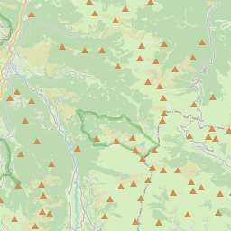
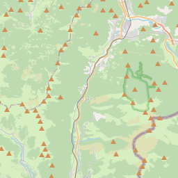
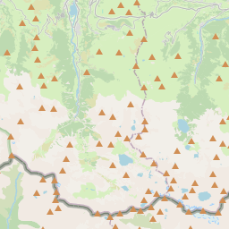
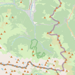
From Wikipedia
Saint-Aventin is a commune in the Haute-Garonne department in southwestern France. The commune of Saint-Aventin is located in the heart of the Pyrenees, and extends from the Larboust Valley in the north to the Spanish border in the South. The highest point is the Sacroux peek at 2,676 metres. The municipal territory hosts the Luchon-Superbagnères winter sports facilities, accessible only from Bagnères-de-Luchon by road or Cable car. The village of Saint-Aventin, is located in the Larboust Valley, 52 km south of Saint-Gaudens and 5 km west of Bagnères-de-Luchon. The population density is 5.3per/km²
Text: Wikipédia, CC BY-SA 4.0. · Image: Père Igor (CC BY-SA 3.0) ·
Related cards
-

Aventignan
Commune in Hautes-Pyrénées, France
Nº Q1110576 ★
Not listed
-

Saint-Laurent, Haute-Garonne
Commune in Haute-Garonne, France
Nº Q1088672 ★
Not listed
-

Saint-Mamet
Commune in Haute-Garonne, France
Nº Q1143865 ★★
Not listed
-

Saint-Gaudens, Haute-Garonne
Commune in Haute-Garonne, France
Nº Q209777 ★★★★
Not listed
-

Saint-Frajou
Commune in Haute-Garonne, France
Nº Q1143886 ★
Not listed
-

Saint-Michel, Haute-Garonne
Commune in Haute-Garonne, France
Nº Q1362134 ★
Not listed