

Uncommon · Places
Saint-Cergue
Municipality in Switzerland
Saint-Cergue is a municipality in the district of Nyon in the canton of Vaud in Switzerland.
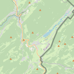
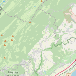
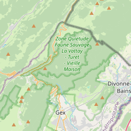
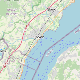
On the map
From Wikipedia
Saint-Cergue is a municipality in the district of Nyon in the canton of Vaud in Switzerland. Saint-Cergue is first mentioned in 1110 as ecclesiam Sancti Cyrici. Saint-Cergue has an area, as of 2009, of 24.3 square kilometers (9.4 mi). Of this area, 6.71 km (2.59 mi) or 27.6% is used for agricultural purposes, while 16.02 km (6.19 mi) or 66.0% is forested. Of the rest of the land, 1.41 km (0.54 mi) or 5.8% is settled (buildings or roads) and 0.13 km (32 acres) or 0.5% is unproductive land. Of the built up area, housing and buildings made up 3.3% and transportation infrastructure made up 2.2%. Out of the forested land, 62.6% of the total land area is heavily forested and 3.4% is covered with orchards or small clusters of trees. Of the agricultural land, 0.0% is used for growing crops and 2.1% is pastures and 25.5% is used for alpine pastures. The municipality was part of the Nyon District until it was dissolved on 31 August 2006, and Saint-Cergue became part of the new district of Nyon. The municipality is located in the Nyon district, on the road over the Col de la Givrine.
Text: Wikipédia, CC BY-SA 4.0. · Image: Pymouss (CC BY-SA 3.0) ·