

Common · Places
Sanduru
Human settlement
Sandūru (often written Sandur) is a town in Ballari district in the Indian state of Karnataka. It is the administrative seat of Sanduru taluka Sandur was ruled by the Ghorpade royal family of the Marathas.
Read more
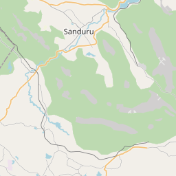
Sanduru is located at 15°06′N 76°33′E / 15.1°N 76.55°E / 15.1; 76.55. It has an average elevation of 565 metres (1853 feet). Sandur, like the surrounding villages of Dowlthpur, Ramgad, Swamihalli, Donimalai, Ubbalagandi is set among green mountains, valleys, and deep gorges. Sandur has a tropical savannah climate, lying near the transition from the semi-arid type of neighboring Ballari and Hospet. Due to its elevation, Sandur is generally cooler than its surroundings. The maximum recorded temperature is 42.2 °C (108.0 °F), and the minimum is 5.5 °C (41.9 °F) degrees. Sandur typically receives 750 millimetres (30 in) of precipitation per year but has also seen more than 1,000 millimetres (39 in). As of 2011, Sandur had a population of 37,431.
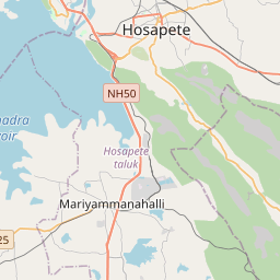
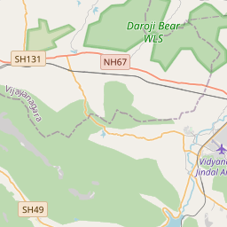
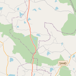
On the map
Text: Wikipédia, CC BY-SA 4.0. · Image: Karnataka_locator_map.svg: by User:Planemad derivative work:... (CC BY-SA 3.0) ·