
Satara district
District of Maharashtra, India
Satara district (ISO: Sātārā Jilhā; Marathi pronunciation: [saːt̪aɾaː]) is a district of Maharashtra state in western India with an area of 10,480 km2 (4,050 sq mi) and a population of 3,003,741 of which 14.17% were urban (as of 2011). Satara is the capital of the district, and other major towns include Medha, Wai, Karad, Malkapur, Umbraj, Koregaon, Rahimatpur, Dahiwadi, Koynanagar, Phaltan, Lonand, Mahabaleshwar, Panchgani, Vaduj and Mhaswad.
Nº Q1135612 ★
Common · Places
Satara district
District of Maharashtra, India
Satara district (ISO: Sātārā Jilhā; Marathi pronunciation: [saːt̪aɾaː]) is a district of Maharashtra state in western India with an area of 10,480 km2 (4,050 sq mi) and a population of 3,003,741 of which 14.17% were urban (as of 2011). Satara is the capital of the district, and other major towns include Medha, Wai, Karad, Malkapur, Umbraj, Koregaon, Rahimatpur, Dahiwadi, Koynanagar, Phaltan, Lonand, Mahabaleshwar, Panchgani, Vaduj and Mhaswad.
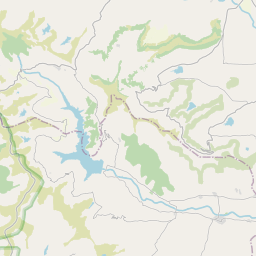
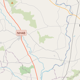
On the map


Last price
—
Floor price
—
7-day median
—
30-day sales
0
30-day range
—
In circulation
0
Price history
median
low – high
sales
No sales in this period
Show table
| Date | median | Low | High | sales |
|---|
Sales history
- Last sale
- —
- 30-day average
- —
- 30-day low
- —
- 30-day high
- —
- Sales 7d
- 0
- Sales 30d
- 0
No sales yet.
Anonymous sales: no buyer or seller shown. Figures count player-to-player sales only.
From Wikipedia
Satara district (ISO: Sātārā Jilhā; Marathi pronunciation: [saːt̪aɾaː]) is a district of Maharashtra state in western India with an area of 10,480 km2 (4,050 sq mi) and a population of 3,003,741 of which 14.17% were urban (as of 2011). Satara is the capital of the district, and other major towns include Medha, Wai, Karad, Malkapur, Umbraj, Koregaon, Rahimatpur, Dahiwadi, Koynanagar, Phaltan, Lonand, Mahabaleshwar, Panchgani, Vaduj and Mhaswad. This district comes under Pune Administrative Division along with Pune, Sangli, Solapur and Kolhapur. The district of Pune bounds it to the north, Raigad bounds it to the north-west, Solapur the east, Sangli to the south, and Ratnagiri to the west.Satara is home to number of maratha warriors such as Hambirrao Mohite,Prataprao Gujar,Tanaji Malusare,Shindes of Kanherkhed etc The Sahyadri range, or main range of the Western Ghats, runs north and south along the western edge of the district, separating it from Ratnagiri District. The Mahadeo range starts about 10 m. north of Mahabaleshwar and stretches east and south-east across the whole of the district. The Mahadeo hills are bold, presenting bare scarps of black rock like fortresses. The Satara district is part of two main watersheds. The Bhima River watershed, which is a tributary of the Krishna, includes the north and northeast of the district, north of the Mahadeo hills. The rest of the district is drained by the upper Krishna and its tributaries. The hill forests have a large store of timber and firewood. The whole of Satara district falls within the Deccan Traps area; the hills consist of trap intersected by strata of basalt and topped with laterite, while, of the different soils on the plains, the commonest is the black loamy clay containing carbonate of lime. This soil, when well watered, is capable of yielding heavy crops. Satara contains some...
Text: Wikipédia, CC BY-SA 4.0. · Image: Neeraj Rane (CC BY-SA 4.0) ·
Related cards

Pune district
District of Maharashtra, India
Nº Q1797336 ★★

Satara (city)
District of Maharashtra state, India
Nº Q581562 ★★

Thane district
District of Maharashtra, India
Nº Q943099 ★★

Aurangabad district, Maharashtra
District of Maharashtra, India
Nº Q592942 ★★

Raigad district
District of Maharashtra, India
Nº Q2019683 ★★

Karad
City in Satara district, Pune division, Maharashtra, India
Nº Q2445542 ★