
Sayabec
Municipality of Quebec, Canada
Sayabec (; French: [sebɛk]) is a municipality located in the La Matapédia Regional County Municipality (RCM) in Bas-Saint-Laurent, Quebec, Canada. It is located in the Matapédia Valley between the Chic-Choc Mountains of the Appalachian near Lake Matapédia.
Nº Q957746 ★★
Uncommon · Places
Sayabec
Municipality of Quebec, Canada
Sayabec (; French: [sebɛk]) is a municipality located in the La Matapédia Regional County Municipality (RCM) in Bas-Saint-Laurent, Quebec, Canada. It is located in the Matapédia Valley between the Chic-Choc Mountains of the Appalachian near Lake Matapédia.
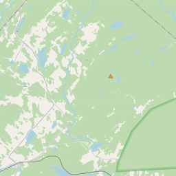
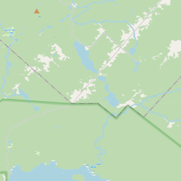
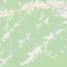
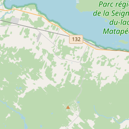
On the map
Last price
—
Floor price
—
7-day median
—
30-day sales
0
30-day range
—
In circulation
0
Price history
median
low – high
sales
No sales in this period
Show table
| Date | median | Low | High | sales |
|---|
Sales history
- Last sale
- —
- 30-day average
- —
- 30-day low
- —
- 30-day high
- —
- Sales 7d
- 0
- Sales 30d
- 0
No sales yet.
Anonymous sales: no buyer or seller shown. Figures count player-to-player sales only.
From Wikipedia
Sayabec (; French: [sebɛk]) is a municipality located in the La Matapédia Regional County Municipality (RCM) in Bas-Saint-Laurent, Quebec, Canada. It is located in the Matapédia Valley between the Chic-Choc Mountains of the Appalachian near Lake Matapédia. The main activities of the village are agriculture and forestry. It has a population of approximately 2,000, the third biggest municipality in its RCM after Amqui and Causapscal. Due to the presence of the chipboards plant called Panval, the biggest industry of the valley, Sayabec is an important regional economic centre. The territory was historically occupied by Mi'kmaq people, a First Nation who occupied much of the Gaspé Peninsula. Its first French Canadian inhabitant was Pierre Brochu, who came in 1833. At the end of the 19th century settlers began to come in the region to work in sawmills. The municipality was first officially created in 1887 as a school municipality under the name Sainte-Marie-de-Sayabec. The Catholic parish was erected in 1894. In 1917, the village of Saindon was created, and it took the name of Sayabec in 1951. Today municipality was formed in 1982 through the merger of the parish municipality of Sainte-Marie-de-Sayabec and the village municipality of Sayabec. The municipality's main transportation link is the Quebec Route 132 which loops around the Gaspé Peninsula back towards the Mont-Joli area northwest of Sayabec. It is also located along the Canadian National Railway (originally the Intercolonial Railway). Sayabec is pronounced "Say-bec" (/se.bɛk/). This name comes from the Mi'kmaq language word sepeg, which means "full river" or "river obstructed by a beaver dam". In fact, the actual Mi'kmaq word is sakpediak, sak meaning "river" and pediak "full", but the Mi'kmaq used to say "sakbak" to be shorter. Other sources say that the name is from the Mi'kmaq word siapeg, which means "extension of the...
Text: Wikipédia, CC BY-SA 4.0. · Image: ipatboy (Patrick) (CC BY-SA 2.0) ·
Related cards
-

La Matapédia Regional County Municipality
Regional County Municipality (RCM) of Bas-Saint-Laurent, Quebec, Canada
Nº Q1798945 ★★
Not listed
-

Lac-au-Saumon, Quebec
Municipality in Bas-Saint-Laurent, Quebec, Canada
Nº Q2020479 ★
Not listed
-

Matapédia, Quebec
Municipality in Quebec, Canada
Nº Q3298232 ★
Not listed
-

Les Appalaches Regional County Municipality
Regional county municipality in Chaudière-Appalaches, Quebec, Canada
Nº Q1517564 ★★
Not listed
-

Saint-Michel-du-Squatec
Municipality in Bas-Saint-Laurent, Quebec, Canada
Nº Q3462999 ★
Not listed
-

Mékinac Regional County Municipality
Regional county municipality in Quebec, Canada
Nº Q1517958 ★
Not listed