

Common · Places
Scie (river)
River that flow from the plateau of the southern Pays de Caux in the Seine-Maritime département of Haute-Normandie into the English Channel
The Scie (French pronunciation: [si]) is a river that flows from the plateau of the southern Pays de Caux in the Seine-Maritime département of Normandy into the English Channel. It is 38 km (24 mi) long.
On the map


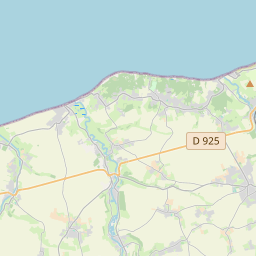
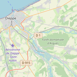
From Wikipedia
The Scie (French pronunciation: [si]) is a river that flows from the plateau of the southern Pays de Caux in the Seine-Maritime département of Normandy into the English Channel. It is 38 km (24 mi) long. The river rises at Saint-Victor-l'Abbaye and passes through Auffay, Saint-Maclou-de-Folleville, Longueville-sur-Scie, Anneville-sur-Scie, Heugleville-sur-Scie, Saint-Aubin-sur-Scie and finally Hautot-sur-Mer.
Text: Wikipédia, CC BY-SA 4.0. · Image: Quentin 76 (CC BY-SA 3.0) ·


