

Uncommon · Places
Seilhac
Commune in Corrèze, France
Seilhac (French pronunciation: [sɛjak]; Occitan: Selhac) is a commune in the Corrèze department in central France in the Nouvelle-Aquitaine region.
On the map
From Wikipedia
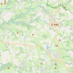
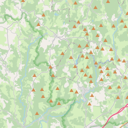
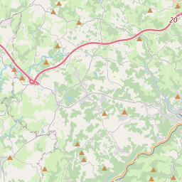
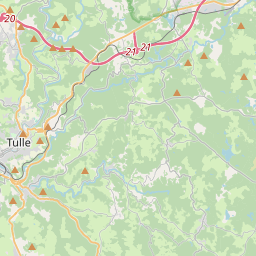
Seilhac (French pronunciation: [sɛjak]; Occitan: Selhac) is a commune in the Corrèze department in central France in the Nouvelle-Aquitaine region. Seilhac is located approximately equal distance from Tulle, Brive-la-Gaillarde and Uzerche. Close to the A89 and A20 motorways, the country of Seilhac represents a natural border between the Corrèze and the Vézère valleys. The communal territory is thus watered by the Brézou, a tributary of the Vézère, and by the Céronne, a tributary of the Corrèze river. Located on the foothills of the Massif Central, the commune has a hilly terrain characterised by wooded hills and mini-plateau with average heights ranging from 420 to 547 metres in the Puy des Ferrières. The commune stretches over 2 575 hectares and on almost 7 km in the north-south direction and over 8 km in the east-west direction. The climate, is of a semi-continental type, is characterised by a certain softness due to a southwest exposure. The main urban area is located in the centre of the communal territory. Gallo-Roman vestiges testify to the presence on the territory of the commune. Seilhac is known from the 7th century.
Text: Wikipédia, CC BY-SA 4.0. · Image: Zivax (CC BY-SA 3.0) ·