
Shawangunk Ridge
Ridge of bedrock in the state of New York
The Shawangunk Ridge , also known as the Shawangunk Mountains or The Gunks, is a ridge of bedrock in Ulster County, Sullivan County and Orange County in the state of New York, extending from the northernmost point of the border with New Jersey to the Catskills. The Shawangunk Ridge is a continuation of the long, easternmost section of the Appalachian Mountains; the ridge is known as Kittatinny Mountain in New Jersey, and as Blue Mountain as it continues through Pennsylvania.
Nº Q2382975 ★
Common · Places
Shawangunk Ridge
Ridge of bedrock in the state of New York
The Shawangunk Ridge , also known as the Shawangunk Mountains or The Gunks, is a ridge of bedrock in Ulster County, Sullivan County and Orange County in the state of New York, extending from the northernmost point of the border with New Jersey to the Catskills. The Shawangunk Ridge is a continuation of the long, easternmost section of the Appalachian Mountains; the ridge is known as Kittatinny Mountain in New Jersey, and as Blue Mountain as it continues through Pennsylvania.
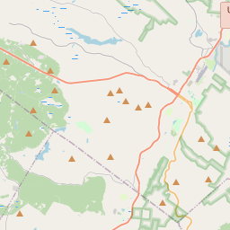
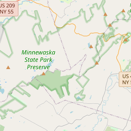
On the map
Last price
—
Floor price
—
7-day median
—
30-day sales
0
30-day range
—
In circulation
0
Price history
median
low – high
sales
No sales in this period
Show table
| Date | median | Low | High | sales |
|---|
Sales history
- Last sale
- —
- 30-day average
- —
- 30-day low
- —
- 30-day high
- —
- Sales 7d
- 0
- Sales 30d
- 0
No sales yet.
Anonymous sales: no buyer or seller shown. Figures count player-to-player sales only.
From Wikipedia
The Shawangunk Ridge , also known as the Shawangunk Mountains or The Gunks, is a ridge of bedrock in Ulster County, Sullivan County and Orange County in the state of New York, extending from the northernmost point of the border with New Jersey to the Catskills. The Shawangunk Ridge is a continuation of the long, easternmost section of the Appalachian Mountains; the ridge is known as Kittatinny Mountain in New Jersey, and as Blue Mountain as it continues through Pennsylvania. This ridge constitutes the western border of the Great Appalachian Valley. The ridgetop, which widens considerably at its northern end, has many public and private protected areas, including Wurtsboro Ridge State Forest, Shawangunk Ridge State Forest, Minnewaska State Park Preserve, Witch's Hole State Park and Mohonk Preserve. The ridge is not heavily populated; its only settlement of consequence is the hamlet of Cragsmoor. In the past, the ridge was chiefly noted for mining and logging and a boom-era of huckleberry picking. Fires were regularly set to burn away the undergrowth and stimulate new growth of huckleberry bushes. Today the ridge has become known for its outdoor recreation, most notably as one of the major rock climbing areas of North America, with many guides offering rock climbing trips in the area. Also known for its biodiversity and scenic character, the ridge has been designated by The Nature Conservancy as a significant area for its conservation programs.
Text: Wikipédia, CC BY-SA 4.0. · Image: Jarek Tuszyński (CC BY-SA 3.0) ·
Related cards

Taconic Mountains
Mountain range in the northeastern United States
Nº Q2477664 ★
Shawangunk Correctional Facility
Maximum-security state prison for male prisoners, located in New York, US
Nº Q7491220 ★★

Blue Ridge Mountains
Mountain range in the Eastern U.S.
Nº Q166755 ★★★★

North Country (New York)
Geographic region of New York
Nº Q7054928 ★

Mohawk Valley
Six-county region in New York, United States
Nº Q3504658 ★

Great Sacandaga Lake
Formerly the Sacandaga Reservoir, in the Adirondack State Park
Nº Q5599903 ★