

Common · Places
Shimla district
District of Himachal Pradesh in India
Shimla district, known as Simla district until 1972, is one of the twelve districts of the state of Himachal Pradesh in northern India. Its headquarters is the state capital of Shimla.
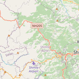
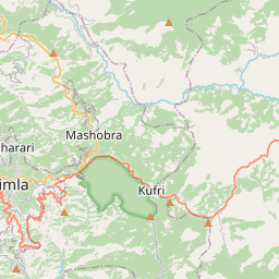
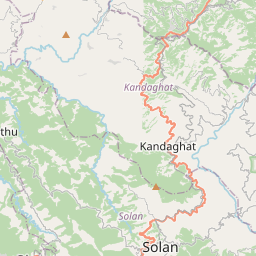
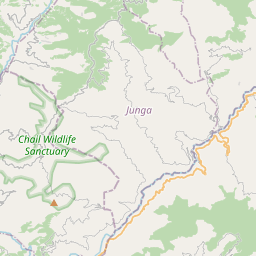
On the map
From Wikipedia
Shimla district, known as Simla district until 1972, is one of the twelve districts of the state of Himachal Pradesh in northern India. Its headquarters is the state capital of Shimla. Neighbouring districts are Mandi and Kullu in the north, Kinnaur in the east, Uttarakhand in the southeast, Solan to the southwest and Sirmaur in the south. The elevation of the district ranges from 987 metres (3,238 ft) to 4,500 metres (14,764 ft). Shimla district culturally is part of the Mahasu region. As of 2011, it is the third most populated district of Himachal Pradesh (out of 12), after Kangra and Mandi. It is the most urbanized district of Himachal Pradesh. Shimla district was part of Mahasu district which included Shimla, Solan and Kinnaur districts. Kinnaur was carved out on 1 May 1969 out of Mahasu district and Shimla and Solan districts were made separate districts out of Mahasu district on 1 September 1972. Shimla district was obtained by the British as Mahasu district which included aforementioned districts also in 1815.
Text: Wikipédia, CC BY-SA 4.0. · Image: Navneet Sharma (CC BY-SA 4.0) ·