
Shoshone Falls
Waterfall on the Snake River in Twin Falls and Jerome counties in Idaho, United States
Shoshone Falls ( shoh-SHOHN) is a waterfall in the western United States, on the Snake River in south-central Idaho, approximately three miles (5 km) northeast of the city of Twin Falls. Sometimes called the "Niagara of the West," Shoshone Falls is 212 feet (65 m) in height, 45 feet (14 m) higher than Niagara Falls, and flows over a rim nearly one thousand feet (300 m) in width.
Nº Q1635297 ★★
Uncommon · Places
Shoshone Falls
Waterfall on the Snake River in Twin Falls and Jerome counties in Idaho, United States
Shoshone Falls ( shoh-SHOHN) is a waterfall in the western United States, on the Snake River in south-central Idaho, approximately three miles (5 km) northeast of the city of Twin Falls. Sometimes called the "Niagara of the West," Shoshone Falls is 212 feet (65 m) in height, 45 feet (14 m) higher than Niagara Falls, and flows over a rim nearly one thousand feet (300 m) in width.
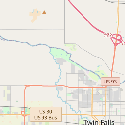
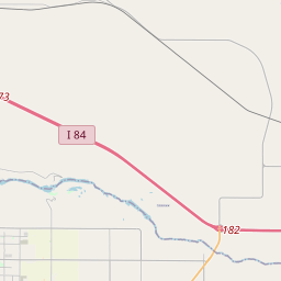
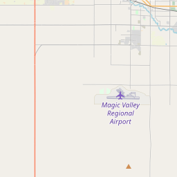
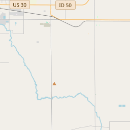
On the map
Last price
—
Floor price
—
7-day median
—
30-day sales
0
30-day range
—
In circulation
0
Price history
median
low – high
sales
No sales in this period
Show table
| Date | median | Low | High | sales |
|---|
Sales history
- Last sale
- —
- 30-day average
- —
- 30-day low
- —
- 30-day high
- —
- Sales 7d
- 0
- Sales 30d
- 0
No sales yet.
Anonymous sales: no buyer or seller shown. Figures count player-to-player sales only.
From Wikipedia
Shoshone Falls ( shoh-SHOHN) is a waterfall in the western United States, on the Snake River in south-central Idaho, approximately three miles (5 km) northeast of the city of Twin Falls. Sometimes called the "Niagara of the West," Shoshone Falls is 212 feet (65 m) in height, 45 feet (14 m) higher than Niagara Falls, and flows over a rim nearly one thousand feet (300 m) in width. Formed by the cataclysmic outburst flooding of Lake Bonneville during the Pleistocene ice age about 14,000 years ago, Shoshone Falls marks the historical upper limit of fish migration (including salmon) in the Snake River, and was an important fishing and trading place for Native Americans. The falls were documented by Europeans as early as the 1840s; despite the isolated location, it became a tourist attraction starting in the 1860s. At the beginning of the 20th century, part of the Snake River was diverted for irrigation of the Magic Valley. Now, the flows over the falls can be viewed seasonally based on snowfall, irrigation needs and hydroelectric demands. Irrigation and hydroelectric power stations built on the falls were major contributors to the early economic development of southern Idaho. The City of Twin Falls owns and operates a park overlooking the waterfall. Shoshone Falls is best viewed in the spring, as diversion of the Snake River can significantly diminish water levels in the late summer and fall. The flow over the falls ranges from more than 20,000 cubic feet per second (570 m3/s) during late spring of wet years, to a minimum "scenic flow" (dam release) of 300 cu ft/s (8.5 m3/s) in dry years.
Text: Wikipédia, CC BY-SA 4.0. · Image: Jloft (CC BY-SA 3.0) ·
Related cards

Snake River Canyon (Idaho)
Large canyon formed by the Snake River in the Magic Valley region of southern Idaho
Nº Q7547071 ★

Snoqualmie Falls
Waterfall on the Snoqualmie River in Washington state, United States
Nº Q7548048 ★★

Niagara River
Watercourse on the boundary of Canada and the United States
Nº Q182343 ★★★

Salmon River (Idaho)
River in Idaho, United States
Nº Q601853 ★★

Shōmyō Falls
Waterfall in Toyama Prefecture, Japan
Nº Q731954 ★★★

Khone Phapheng Falls
Waterfall on the Mekong River in Laos
Nº Q38161 ★