
Sim (river)
River in Chelyabinsk Oblast and Bashkiria, Russia
The Sim (Bashkir: Эҫем, Eśem; Russian: Сим) is a river in Chelyabinsk Oblast and the Republic of Bashkortostan in Russia. It is a tributary of the Belaya, part of the Volga watershed. Its length is 239 kilometers (149 mi), and its drainage basin covers 11,700 square kilometres (4,500 mi2).
Nº Q1514215 ★★
Uncommon · Places
Sim (river)
River in Chelyabinsk Oblast and Bashkiria, Russia
The Sim (Bashkir: Эҫем, Eśem; Russian: Сим) is a river in Chelyabinsk Oblast and the Republic of Bashkortostan in Russia. It is a tributary of the Belaya, part of the Volga watershed. Its length is 239 kilometers (149 mi), and its drainage basin covers 11,700 square kilometres (4,500 mi2).
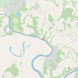
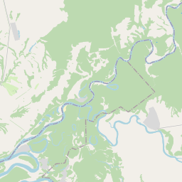
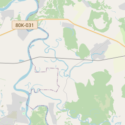
On the map
Last price
—
Floor price
—
7-day median
—
30-day sales
0
30-day range
—
In circulation
0
Price history
median
low – high
sales
No sales in this period
Show table
| Date | median | Low | High | sales |
|---|
Sales history
- Last sale
- —
- 30-day average
- —
- 30-day low
- —
- 30-day high
- —
- Sales 7d
- 0
- Sales 30d
- 0
No sales yet.
Anonymous sales: no buyer or seller shown. Figures count player-to-player sales only.
From Wikipedia
The Sim (Bashkir: Эҫем, Eśem; Russian: Сим) is a river in Chelyabinsk Oblast and the Republic of Bashkortostan in Russia. It is a tributary of the Belaya, part of the Volga watershed. Its length is 239 kilometers (149 mi), and its drainage basin covers 11,700 square kilometres (4,500 mi2). The river has its sources in the southern Ural Mountains. It first flows in a north-northwesterly direction towards the towns of Sim and Minyar, before turning towards the west and then southwest. After passing the town of Asha the Sim crosses the border of Bashkortostan and continues towards the southwest and its confluence with the Belaya. Ignateva Cave lies on its banks.
Text: Wikipédia, CC BY-SA 4.0. · Image: Мурадов О.В.. Original uploader was Ringworm at ru.wikipedia (Public domain) ·
Related cards
-

Zilim
River in Bashkortostan, Russia
Nº Q1115597 ★★
Not listed
-

Tom (river)
River in Khakassia, Kemerovo Oblast, and Tomsk Oblast, Russia
Nº Q216188 ★★★
Not listed
-

Seym (river)
River in Russia and Ukraine
Nº Q738986 ★★★
Not listed
-

Ishim (river)
River in Kazakhstan and Russia
Nº Q191524 ★★★★
Not listed
-

Kazym
River in Russia
Nº Q1069509 ★
Not listed
-

Siva (river)
River in Perm Krai and Udmurtia, Russia
Nº Q1784856 ★
Not listed