


Slapton, Devon
Village and civil parish in the South Hams district of Devon, England, UK
Slapton is a village and civil parish in the South Hams district of Devon, England. It is located near the A379 road between Kingsbridge and Dartmouth, and lies within the South Devon Area of Outstanding Natural Beauty (AONB).
Nº Q2474705 ★
Common · Places
Slapton, Devon
Village and civil parish in the South Hams district of Devon, England, UK
Slapton is a village and civil parish in the South Hams district of Devon, England. It is located near the A379 road between Kingsbridge and Dartmouth, and lies within the South Devon Area of Outstanding Natural Beauty (AONB).
On the map
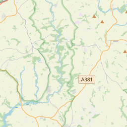
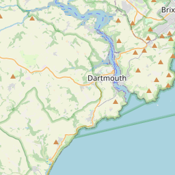
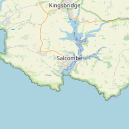
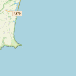
From Wikipedia
Slapton is a village and civil parish in the South Hams district of Devon, England. It is located near the A379 road between Kingsbridge and Dartmouth, and lies within the South Devon Area of Outstanding Natural Beauty (AONB). The nearby beach is Slapton Sands; despite its name, it is not a sandy beach but a shingle one. In 1901 the population of the civil parish was 527, decreasing to 473 in 2001, and decreasing further to 434 at the 2011 census. The parish is surrounded clockwise from the north by the parishes of Blackawton, Strete, Stokenham and East Allington.
Text: Wikipédia, CC BY-SA 4.0. · Image: John Salmon (CC BY-SA 2.0) ·
Related cards
-

Salcombe
Town and civil parish in Devon, United Kingdom
Nº Q1247786 ★★
Not listed
-

Repton
Village in Derbyshire, England, UK
Nº Q1018787 ★★
Not listed
-

Queen's Nympton
Village in Devon, England, UK
Nº Q7270039 ★★
Not listed
-

East Devon
Non-metropolitan district in Devon, England, UK
Nº Q1277825 ★
Not listed
-

Clapton, London
Area in the London Borough of Hackney
Nº Q60762825 ★
Not listed
-

Swanton Abbott
Village and civil parish in North Norfolk, England, UK
Nº Q2223699 ★
Not listed