
Sleaford
Market town and civil parish in Lincolnshire, England, UK
Sleaford is a market town and civil parish in the North Kesteven district of Lincolnshire, England. On the edge of the Fenlands, it is 11 miles (18 kilometres) north-east of Grantham, 16 mi (26 km) west of Boston, and 17 mi (27 km) south of Lincoln.
Nº Q1891939 ★
Common · Places
Sleaford
Market town and civil parish in Lincolnshire, England, UK
Sleaford is a market town and civil parish in the North Kesteven district of Lincolnshire, England. On the edge of the Fenlands, it is 11 miles (18 kilometres) north-east of Grantham, 16 mi (26 km) west of Boston, and 17 mi (27 km) south of Lincoln.
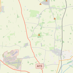
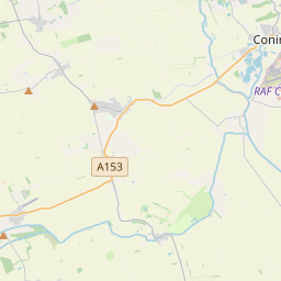
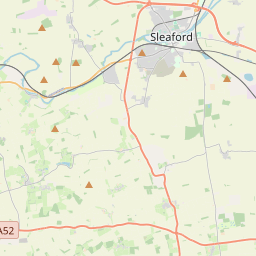
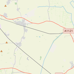
On the map
Last price
—
Floor price
—
7-day median
—
30-day sales
0
30-day range
—
In circulation
0
Price history
median
low – high
sales
No sales in this period
Show table
| Date | median | Low | High | sales |
|---|
Sales history
- Last sale
- —
- 30-day average
- —
- 30-day low
- —
- 30-day high
- —
- Sales 7d
- 0
- Sales 30d
- 0
No sales yet.
Anonymous sales: no buyer or seller shown. Figures count player-to-player sales only.
From Wikipedia
Sleaford is a market town and civil parish in the North Kesteven district of Lincolnshire, England. On the edge of the Fenlands, it is 11 miles (18 kilometres) north-east of Grantham, 16 mi (26 km) west of Boston, and 17 mi (27 km) south of Lincoln. It is the largest settlement in North Kesteven with a population of 19,807 in 2021. Centred on the former parish of New Sleaford, the modern boundaries and urban area include Quarrington to the south-west, Holdingham to the north-west and Old Sleaford to the east. The town is bypassed by the A17 and the A15 roads. Sleaford railway station is on the Nottingham to Skegness (via Grantham) and Peterborough to Lincoln lines. The first settlement formed in the Iron Age where a prehistoric track crossed the River Slea. It was likely home to a mint for the Corieltauvi in the 1st centuries BC and AD. Evidence of Roman and Anglo-Saxon settlement has been found. Medieval records differentiate between Old and New Sleaford, the latter emerging by the 12th century around the present-day market place and St Denys' Church; Sleaford Castle was also built at that time for the Bishops of Lincoln, who owned the manor. Granted the right to hold a market in the mid-12th century, New Sleaford developed into a market town and became locally important in the wool trade, while Old Sleaford (based near the site of the prehistoric settlement) declined. From the 16th century, the landowning Carre family kept tight control over the town – it grew little in the early modern period. The manor passed by marriage to the Hervey family (Earls and later Marquesses of Bristol) in 1688. The town's common lands were enclosed by 1794, giving ownership mostly to the Herveys. This coincided with canalisation of the Slea, which...
Text: Wikipédia, CC BY-SA 4.0. · Image: Dave Hitchborne (CC BY-SA 2.0) ·
Related cards

Liskeard
Market town and civil parish in Cornwall, England, UK
Nº Q2019908 ★

Knutsford
Town in Cheshire, England, United Kingdom
Nº Q1470791 ★★

Selby
Town and civil parish in North Yorkshire, England
Nº Q527846 ★

City of Salford
Metropolitan borough with city status in Greater Manchester, England
Nº Q1142118 ★★

Sevenoaks
Commuter town situated in west Kent, England
Nº Q939838 ★★

Barnsley
Town in South Yorkshire, England
Nº Q54212 ★★★