
Slieve Donard
Mountain in County Down, Northern Ireland, UK
Slieve Donard ( SLEEV DON-ərd; from Irish Sliabh Dónairt, meaning 'Dónairt's mountain') is the highest mountain in Northern Ireland, the highest in Ulster, and the seventh-highest in Ireland, with a height of 850 metres (2,790 ft). The tallest of the Mourne Mountains, it is near the town of Newcastle on the eastern coast of County Down, overlooking the Irish Sea.
Nº Q550163 ★★
Uncommon · Places
Slieve Donard
Mountain in County Down, Northern Ireland, UK
Slieve Donard ( SLEEV DON-ərd; from Irish Sliabh Dónairt, meaning 'Dónairt's mountain') is the highest mountain in Northern Ireland, the highest in Ulster, and the seventh-highest in Ireland, with a height of 850 metres (2,790 ft). The tallest of the Mourne Mountains, it is near the town of Newcastle on the eastern coast of County Down, overlooking the Irish Sea.
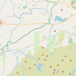
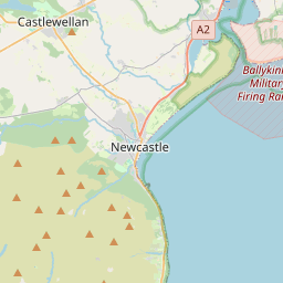
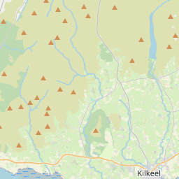
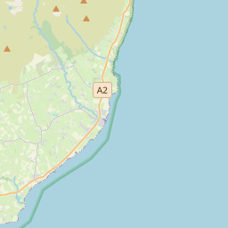
On the map
Last price
—
Floor price
—
7-day median
—
30-day sales
0
30-day range
—
In circulation
0
Price history
median
low – high
sales
No sales in this period
Show table
| Date | median | Low | High | sales |
|---|
Sales history
- Last sale
- —
- 30-day average
- —
- 30-day low
- —
- 30-day high
- —
- Sales 7d
- 0
- Sales 30d
- 0
No sales yet.
Anonymous sales: no buyer or seller shown. Figures count player-to-player sales only.
From Wikipedia
Slieve Donard ( SLEEV DON-ərd; from Irish Sliabh Dónairt, meaning 'Dónairt's mountain') is the highest mountain in Northern Ireland, the highest in Ulster, and the seventh-highest in Ireland, with a height of 850 metres (2,790 ft). The tallest of the Mourne Mountains, it is near the town of Newcastle on the eastern coast of County Down, overlooking the Irish Sea. It is also the tallest mountain in the northern half of Ireland. The Mourne Wall – built in the early 20th century – runs up the western and southern slopes of the mountain, joining a small stone tower at the summit. Also on the summit are the remains of two ancient burial cairns, one of which is the remains of the highest known passage tomb in Ireland. In Irish mythology the mountain was associated with the mythical figures Boirche and Slángha. It was later associated with, and named after, Saint Donard, who was said to have made the summit his hermitage. Up until the 1830s, people would climb the mountain as part of a yearly pilgrimage, which may have originally been a Lughnasadh (harvest) ritual. Royal Engineers camped on the summit for four months in 1826 as part of the Ordnance Survey's Principal Triangulation.
Text: Wikipédia, CC BY-SA 4.0. · Image: Ross (CC BY-SA 2.0) ·
Related cards

County Londonderry
County of Northern Ireland
Nº Q192208 ★★

Cliffs of Moher
Cliffs in Western Ireland, on the Atlantic shore
Nº Q239477 ★★★★

Snowdon
Highest mountain in Wales
Nº Q217142 ★★★

County Fermanagh
County of Northern Ireland
Nº Q190678 ★★

County Limerick
County in Ireland
Nº Q178283 ★★

County Louth
County in Ireland
Nº Q183539 ★★