
Somerset Levels
Coastal plain and wetland area of Somerset, South West England
The Somerset Levels are a coastal plain and wetland area of Somerset, England, running south from the Mendips to the Blackdown Hills. The Somerset Levels have an area of about 160,000 acres (650 km2) and are bisected by the Polden Hills; the areas to the south are drained by the River Parrett, and the areas to the north by the rivers Axe and Brue.
Nº Q6376320 ★
Common · Places
Somerset Levels
Coastal plain and wetland area of Somerset, South West England
The Somerset Levels are a coastal plain and wetland area of Somerset, England, running south from the Mendips to the Blackdown Hills. The Somerset Levels have an area of about 160,000 acres (650 km2) and are bisected by the Polden Hills; the areas to the south are drained by the River Parrett, and the areas to the north by the rivers Axe and Brue.
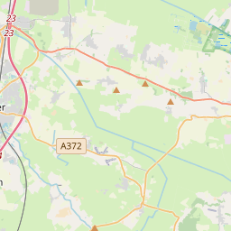
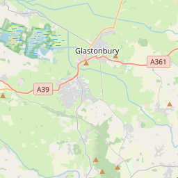
On the map
Last price
—
Floor price
—
7-day median
—
30-day sales
0
30-day range
—
In circulation
0
Price history
median
low – high
sales
No sales in this period
Show table
| Date | median | Low | High | sales |
|---|
Sales history
- Last sale
- —
- 30-day average
- —
- 30-day low
- —
- 30-day high
- —
- Sales 7d
- 0
- Sales 30d
- 0
No sales yet.
Anonymous sales: no buyer or seller shown. Figures count player-to-player sales only.
From Wikipedia
The Somerset Levels are a coastal plain and wetland area of Somerset, England, running south from the Mendips to the Blackdown Hills. The Somerset Levels have an area of about 160,000 acres (650 km2) and are bisected by the Polden Hills; the areas to the south are drained by the River Parrett, and the areas to the north by the rivers Axe and Brue. The Mendip Hills separate the Somerset Levels from the North Somerset Levels. The Somerset Levels consist of marine clay "levels" along the coast and inland peat-based "moors"; agriculturally, about 70 per cent is used as grassland and the rest is arable. Willow and teazel are grown commercially and peat is extracted. A Palaeolithic flint tool found in West Sedgemoor is the earliest indication of human presence in the area. The Neolithic people exploited the reed swamps for their natural resources and started to construct wooden trackways, including the world's oldest known timber trackway, the Post Track, dating from about 3800 BC. The Levels were the location of the Glastonbury Lake Village as well as two Lake villages at Meare Lake. Several settlements and hill forts were built on the natural "islands" of slightly raised land, including Brent Knoll and Glastonbury. In the Roman period sea salt was extracted and a string of settlements were set up along the Polden Hills. The 1998 discovery at Shapwick of 9,238 silver Roman coins, known as the Shapwick Hoard, was the second-largest ever found from the time of the Roman Empire. A number of Saxon charters document the incorporation of areas of moor in estates. In 1685, the Battle of Sedgemoor was fought in the Bussex area of Westonzoyland at the conclusion of the Monmouth Rebellion. As a result of the wetland nature of the Levels, the area contains a...
Text: Wikipédia, CC BY-SA 4.0. · Image: Photographed by myself (Adrian Pingstone) (Public domain) ·
Related cards

Exmoor
Area of hilly open moorland in west Somerset and north Devon in South West England
Nº Q593627 ★★

Quantock Hills
Range of hills west of Bridgwater in Somerset, England
Nº Q1471502 ★

South Downs
Range of hills in the United Kingdom
Nº Q584108 ★★

Frome
Town and civil parish in eastern Somerset, England, United Kingdom
Nº Q1242441 ★★

Wookey Hole Caves
Series of limestone caverns in Somerset county, England
Nº Q4274972 ★★

Somerset
Ceremonial county of England (use Q21694741 for administrative non-metropolitan county)
Nº Q23157 ★★★★