

Common · Places
St Osyth
Village and civil parish in northeast Essex, England, UK
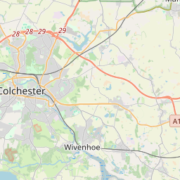
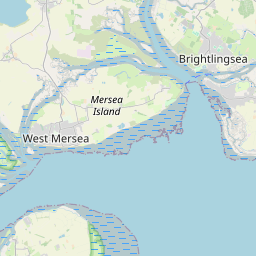
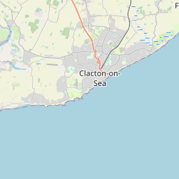
St Osyth is an English village and civil parish in the Tendring District of north-east Essex, about five miles (eight kilometres) west of Clacton-on-Sea and 12 miles (19 km) southeast of Colchester. It lies on the B1027, Colchester–Clacton road. The village is named after Osgyth, a seventh-century saint and princess.
On the map

From Wikipedia
St Osyth is an English village and civil parish in the Tendring District of north-east Essex, about five miles (eight kilometres) west of Clacton-on-Sea and 12 miles (19 km) southeast of Colchester. It lies on the B1027, Colchester–Clacton road. The village is named after Osgyth, a seventh-century saint and princess. Locally, the name is sometimes pronounced "Toosey". It is claimed to be the driest recorded place in the United Kingdom. At the 2021 census the parish had a population of 5,157.
Text: Wikipédia, CC BY-SA 4.0. · Image: Terryjoyce (CC BY-SA 3.0) ·
Related cards
-
 ★★★★
★★★★
Clacton-on-Sea
Town in Essex, England
-
 ★
★
Selsey
Seaside town and civil parish in West Sussex, England
-
 ★
★
City of Colchester
Non-metropolitan district with city and borough status in Essex, England
-
 ★★
★★
Oxted
Town and civil parish in Surrey, England
-
 ★
★
Midhurst
Town in West Sussex, England, UK
-
 ★
★
Brightlingsea
Coastal town in the Tendring district of Essex, England, UK