
Stegny
Warsaw neighborhood in Masovian, Poland
Stegny (Polish: [ˈstɛɡ.nɘ̟]) is a neighbourhood, and a City Information System area, in Warsaw, Poland, within the Mokotów district. The area is part of its eastern half, known as the Lower Mokotów.
Nº Q7606696 ★★★
Rare · Places
Stegny
Warsaw neighborhood in Masovian, Poland
Stegny (Polish: [ˈstɛɡ.nɘ̟]) is a neighbourhood, and a City Information System area, in Warsaw, Poland, within the Mokotów district. The area is part of its eastern half, known as the Lower Mokotów.
On the map
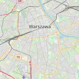
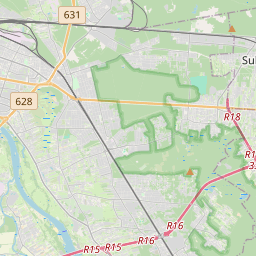
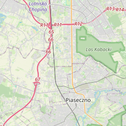
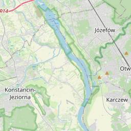
Last price
—
Floor price
—
7-day median
—
30-day sales
0
30-day range
—
In circulation
0
Price history
median
low – high
sales
No sales in this period
Show table
| Date | median | Low | High | sales |
|---|
Sales history
- Last sale
- —
- 30-day average
- —
- 30-day low
- —
- 30-day high
- —
- Sales 7d
- 0
- Sales 30d
- 0
No sales yet.
Anonymous sales: no buyer or seller shown. Figures count player-to-player sales only.
From Wikipedia
Stegny (Polish: [ˈstɛɡ.nɘ̟]) is a neighbourhood, and a City Information System area, in Warsaw, Poland, within the Mokotów district. The area is part of its eastern half, known as the Lower Mokotów. It is a residential area, predominantly consisting of housing estates of apartment buildings, including Arbuzowa, Nova Królikarnia, Osiedle Ażurowych Okiennic, Stegny, and Wilanówek. It also includes low-rise single-family housing, predominantly in the neighbourhood of Królikarnia. Additionally, it features the Fort Che, historical demilitarised fortifications, dating to the 1880s. In the 15th century, the village of Szopy was founded in the area of the Warsaw Escarpment. In the 18th century, it was settled by German population, being renamed to Szopy Niemieckie (lit. 'German Szopy'), with a hamlet of Szopy Polskie (lit. 'Szopy Polskie') being founded to the east by Polish people. At the beginning of the 19th century, the village of Potok was founded to its south. The area was incorporated into Warsaw in 1916. In the 1970s, the housing estate of Stegny was developed in the area, consisting of apartment buildings constructed with the large panel system technology. In the first half of the 21st century, series of another housing estates were developed in the area, including Arbuzowa, Nova Królikarnia, and Osiedle Ażurowych Okiennic.
Text: Wikipédia, CC BY-SA 4.0. · Image: Adrian Grycuk (CC BY-SA 3.0 pl) ·
Related cards

Yonaguni Monument
Submerged rock formation
Nº Q995511 ★★★

Airspace
Portion of the atmosphere controlled by a country
Nº Q272730 ★★★

Carthago Nova
Ancient city of Spain
Nº Q2727884 ★★★
강동구 갑
Nº Q31180202 ★★★
Daejeong
Eup in, Seogwipo-si, Jeju-do, South Korea
Nº Q16167859 ★★★
Bus urbains à Gumi City
Nº Q13422093 ★★★