
Sutter Buttes
Complex of eroded volcanic lava domes in California
The Sutter Buttes (Maidu: Histum Yani or Esto Yamani, Wintun: Olonai-Tol, Nisenan: Estom Yanim) are a small circular complex of eroded volcanic lava domes which rise as buttes above the flat plains of the Sacramento Valley in Sutter County, northern California. They are situated just outside Yuba City in the northern part of the state's Central Valley.
Nº Q2369956 ★
Common · Places
Sutter Buttes
Complex of eroded volcanic lava domes in California
The Sutter Buttes (Maidu: Histum Yani or Esto Yamani, Wintun: Olonai-Tol, Nisenan: Estom Yanim) are a small circular complex of eroded volcanic lava domes which rise as buttes above the flat plains of the Sacramento Valley in Sutter County, northern California. They are situated just outside Yuba City in the northern part of the state's Central Valley.
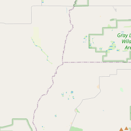
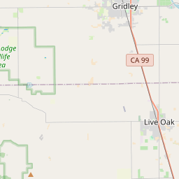
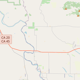
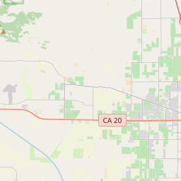
On the map
Last price
—
Floor price
—
7-day median
—
30-day sales
0
30-day range
—
In circulation
0
Price history
median
low – high
sales
No sales in this period
Show table
| Date | median | Low | High | sales |
|---|
Sales history
- Last sale
- —
- 30-day average
- —
- 30-day low
- —
- 30-day high
- —
- Sales 7d
- 0
- Sales 30d
- 0
No sales yet.
Anonymous sales: no buyer or seller shown. Figures count player-to-player sales only.
From Wikipedia
The Sutter Buttes (Maidu: Histum Yani or Esto Yamani, Wintun: Olonai-Tol, Nisenan: Estom Yanim) are a small circular complex of eroded volcanic lava domes which rise as buttes above the flat plains of the Sacramento Valley in Sutter County, northern California. They are situated just outside Yuba City in the northern part of the state's Central Valley. These remnants of a dormant volcano are colloquially referred to as the world's smallest mountain range. The Sutter Buttes have as their highest point the summit of South Butte, at 2,122 ft (647 m), which is also the highest point in Sutter County. Land was designated as a state park in 2003 after the California State Park system acquired property on the North of the buttes. It has yet to be named officially and is not open to the public as the appropriate classification of park resources is still being decided by property management. At the base of the mountain is the small town of Sutter. The town, county, and buttes are named for John Sutter, a man who received a large land grant in the area from the Mexican government.
Text: Wikipédia, CC BY-SA 4.0. · Image: Expedition 32 crew/NASA (Public domain) ·
Related cards
-

Monument Valley
Basin of the Colorado Plateau on the Arizona–Utah border in the western United States
Nº Q192017 ★★★★
Not listed
-

West and East Mitten Buttes
Mountain in United States of America
Nº Q7987055 ★
Not listed
-

Butte County, California
County in California, United States
Nº Q156181 ★★
Not listed
-

Lassen Peak
Lava dome in the Cascade Range
Nº Q859354 ★★★
Not listed
-

Sutter's Fort
Historic park in Sacramento, California
Nº Q2792626 ★★
Not listed
-

Sacramento metropolitan area
Metropolitan area in California, United States
Nº Q5947646 ★★
Not listed