
Tâmega (river)
River in Spain and Portugal
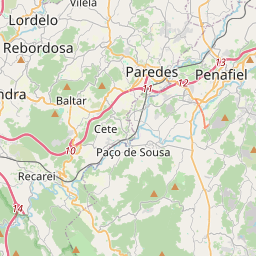
The Tâmega (European Portuguese: [ˈtɐmɨɣɐ]) or Támega (Galician: [ˈtamɪɣɐ]; Proto-Celtic: *Tamaca) is a river in the Iberian Peninsula and a tributary of the Douro River. It has a length of 145 kilometers (51.91 km in Spain) and originates at the "Fuente del Támega" in the locality of A Alberguería (Laza), in the foothills of the Sierra de San Mamede, at an elevation of 960 meters on Mount Talariño.
Nº Q14608 ★★★★
Super Rare · Places
Tâmega (river)
River in Spain and Portugal
The Tâmega (European Portuguese: [ˈtɐmɨɣɐ]) or Támega (Galician: [ˈtamɪɣɐ]; Proto-Celtic: *Tamaca) is a river in the Iberian Peninsula and a tributary of the Douro River. It has a length of 145 kilometers (51.91 km in Spain) and originates at the "Fuente del Támega" in the locality of A Alberguería (Laza), in the foothills of the Sierra de San Mamede, at an elevation of 960 meters on Mount Talariño.
On the map
Last price
—
Floor price
—
7-day median
—
30-day sales
0
30-day range
—
In circulation
0
Price history
median
low – high
sales
No sales in this period
Show table
| Date | median | Low | High | sales |
|---|
Sales history
- Last sale
- —
- 30-day average
- —
- 30-day low
- —
- 30-day high
- —
- Sales 7d
- 0
- Sales 30d
- 0
No sales yet.
Anonymous sales: no buyer or seller shown. Figures count player-to-player sales only.
From Wikipedia
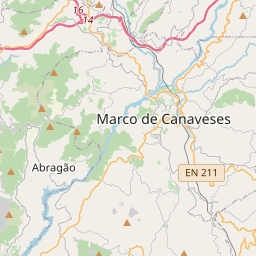
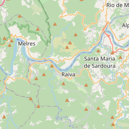
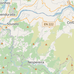
The Tâmega (European Portuguese: [ˈtɐmɨɣɐ]) or Támega (Galician: [ˈtamɪɣɐ]; Proto-Celtic: *Tamaca) is a river in the Iberian Peninsula and a tributary of the Douro River. It has a length of 145 kilometers (51.91 km in Spain) and originates at the "Fuente del Támega" in the locality of A Alberguería (Laza), in the foothills of the Sierra de San Mamede, at an elevation of 960 meters on Mount Talariño. It passes through the districts of Vila Real, Braga and Porto before joining the Douro near Entre-os-Rios. From Verín, it flows to the Portuguese city of Chaves and thereafter through the Veiga de Chaves, an extensive structural valley, now seismically inactive, with 2,500 hectares (6,200 acres). Then it winds through narrow mountain gorges and valleys as it flows past Ribeira de Pena and the cities of Amarante and Marco de Canaveses. Along its course, it receives tributaries such as the Odres and Ovelha rivers. The river’s course covers a basin of approximately 3,309 square kilometres (1,278 mi2), with an average annual flow of 70.3 m3/s (2,480 cu ft/s). With the exception of the water reservoir of the Torrão Dam, the Tâmega is not navigable, owing to its variable flow and a series of small dams. In Marco de Canaveses, riverside parks such as the Parque Fluvial do Tâmega and the Parque de Lazer de Alpendorada e Matos provide facilities for water sports and recreation, including canoeing, kayaking, pedal boating, and river cruises. In the second half of the 20th century, the Tâmega River in Amarante suffered severe environmental degradation due to untreated wastewater, industrial discharges, and sand extraction. These issues led to a noticeable decline in water quality, with sections of the river becoming unsuitable for bathing and other recreational activities. The situation began to improve towards the end of the century...
Text: Wikipédia, CC BY-SA 4.0. · Image: Joseolgon (CC BY-SA 4.0) ·
Related cards

Pisuerga
River in Spain
Nº Q14757 ★★★★

Verín
Municipality of Spain
Nº Q176504 ★★★★

Tagus
Longest river in the Iberian Peninsula
Nº Q14294 ★★★★★

Minho (river)
River in Spain
Nº Q14554 ★★★★

Third Tagus Crossing
Cable-stayed bridge
Nº Q901283 ★★★★

Alverca do Ribatejo
Former civil parish in Portugal
Nº Q431690 ★★★★