
Tarim River
River in the People's Republic of China
The Tarim River (Chinese: 塔里木河; pinyin: Tǎlǐmù Hé; Uyghur: تارىم دەرياسى, romanized: Tarim deryasi), known in Sanskrit as the Śītā, is an endorheic river in Xinjiang, China. It is the principal river of the Tarim Basin, a desert region of Central Asia between the Tian Shan and Kunlun Mountains.
Nº Q237901 ★★
Uncommon · Places
Tarim River
River in the People's Republic of China
The Tarim River (Chinese: 塔里木河; pinyin: Tǎlǐmù Hé; Uyghur: تارىم دەرياسى, romanized: Tarim deryasi), known in Sanskrit as the Śītā, is an endorheic river in Xinjiang, China. It is the principal river of the Tarim Basin, a desert region of Central Asia between the Tian Shan and Kunlun Mountains.
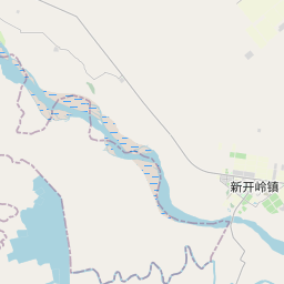
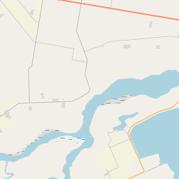
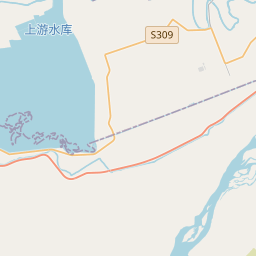
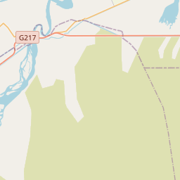
On the map
Last price
—
Floor price
—
7-day median
—
30-day sales
0
30-day range
—
In circulation
0
Price history
median
low – high
sales
No sales in this period
Show table
| Date | median | Low | High | sales |
|---|
Sales history
- Last sale
- —
- 30-day average
- —
- 30-day low
- —
- 30-day high
- —
- Sales 7d
- 0
- Sales 30d
- 0
No sales yet.
Anonymous sales: no buyer or seller shown. Figures count player-to-player sales only.
From Wikipedia
The Tarim River (Chinese: 塔里木河; pinyin: Tǎlǐmù Hé; Uyghur: تارىم دەرياسى, romanized: Tarim deryasi), known in Sanskrit as the Śītā, is an endorheic river in Xinjiang, China. It is the principal river of the Tarim Basin, a desert region of Central Asia between the Tian Shan and Kunlun Mountains. The river historically terminated at Lop Nur, but today reaches no further than Taitema Lake before drying out. It is the longest inland river in China. The Tarim River originates from the Karakoram Mountains and flows into Lop Nur along the northern edge of the Taklimakan Desert. It has a total length of 2,327 kilometers and a drainage area of 1.02 million square kilometers. Its main tributaries include the Hotan River, the Aksu River, and the Kashgar River. The course of the Tarim River swings from north to south in history, and its migration is uncertain. The last major river change occurred in 1921, when the main stream was diverted to the east and flowed into Lop Nur through the Kongque River. In 1952, a dam was built near Yuli County, separated from the Kongque River, and the river water returned to Taitma Lake and Lop Nur through the old road of Tieganlik.
Text: Wikipédia, CC BY-SA 4.0. · Image: NASA (Public domain) ·
Related cards

Xun River
River of the Pearl River system in China
Nº Q856509 ★★

Tarim Basin
Geographical area in Central Asia
Nº Q216622 ★★★

Liwu River
River in Taiwan
Nº Q11598263 ★★

Liu River
River in Guangxi, China
Nº Q847844 ★★

Yong River (Guangxi)
River in Nanning, Guangxi, China
Nº Q1053967 ★★

Shing Mun River
River channel that runs through Sha Tin District, Hong Kong
Nº Q15274 ★★★