
Techa
River in Russia
The Techa (Russian: Те́ча, [ˈtʲet͡ɕə]) is an eastward river on the eastern flank of the southern Ural Mountains noted for its nuclear contamination. It is 243 kilometres (151 mi) long, and its basin covers 7,600 square kilometres (2,900 mi2).
Nº Q1062895 ★★★
Rare · Places
Techa
River in Russia
The Techa (Russian: Те́ча, [ˈtʲet͡ɕə]) is an eastward river on the eastern flank of the southern Ural Mountains noted for its nuclear contamination. It is 243 kilometres (151 mi) long, and its basin covers 7,600 square kilometres (2,900 mi2).
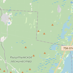
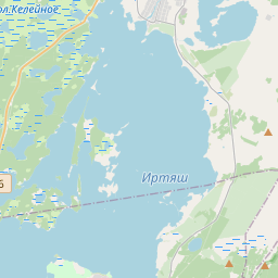
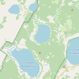
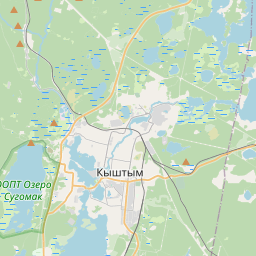
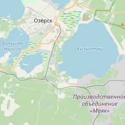
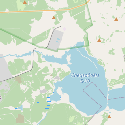
On the map
Last price
—
Floor price
—
7-day median
—
30-day sales
0
30-day range
—
In circulation
0
Price history
median
low – high
sales
No sales in this period
Show table
| Date | median | Low | High | sales |
|---|
Sales history
- Last sale
- —
- 30-day average
- —
- 30-day low
- —
- 30-day high
- —
- Sales 7d
- 0
- Sales 30d
- 0
No sales yet.
Anonymous sales: no buyer or seller shown. Figures count player-to-player sales only.
From Wikipedia
The Techa (Russian: Те́ча, [ˈtʲet͡ɕə]) is an eastward river on the eastern flank of the southern Ural Mountains noted for its nuclear contamination. It is 243 kilometres (151 mi) long, and its basin covers 7,600 square kilometres (2,900 mi2). It begins by the once-secret nuclear processing town of Ozyorsk about 80 kilometres (50 mi) northwest of Chelyabinsk and flows east then northeast to the small town of Dalmatovo to flow into the mid-part of the Iset, a tributary of the Tobol. Its basin is close to and north of the Miass, longer than these rivers apart from the Tobol.
Text: Wikipédia, CC BY-SA 4.0. · Image: Ural-66 (CC BY-SA 4.0) ·
Related cards
-

Sunzha (river)
River in Chechnya, Ingushetia, and North Ossetia, Russia
Nº Q911339 ★★★
Not listed
-

Tavda (river)
River in Sverdlovsk and Tyumen Oblasts, Russia
Nº Q83458 ★★
Not listed
-

Satka
Town in Russia
Nº Q193569 ★★★★
Not listed
-

Oka (river)
River in Russia, tributary of Volga
Nº Q172089 ★★★★★
Not listed
-

Chuna (river)
River in Irkutsk Oblast and Krasnoyarsk Krai, Russia
Nº Q583285 ★★
Not listed
-

Tikych
River in Ukraine
Nº Q1145936 ★★★
Not listed