

Common · Places
The Fylde
Peninsula in Lancashire, Lancashire
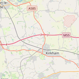
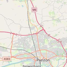
The Fylde () is a coastal plain in western Lancashire, England. It is roughly a 13-mile-long (21-kilometre) square-shaped peninsula, bounded by Morecambe Bay to the north, the Ribble estuary to the south, the Irish Sea to the west, and the foot of the Bowland hills to the east which approximates to a section of the M6 motorway and West Coast Main Line.
On the map


From Wikipedia
The Fylde () is a coastal plain in western Lancashire, England. It is roughly a 13-mile-long (21-kilometre) square-shaped peninsula, bounded by Morecambe Bay to the north, the Ribble estuary to the south, the Irish Sea to the west, and the foot of the Bowland hills to the east which approximates to a section of the M6 motorway and West Coast Main Line.
Text: Wikipédia, CC BY-SA 4.0. · Image: Lancashire_UK_district_map_(blank).svg: Nilfanion, created u... (CC BY-SA 2.0) ·
Related cards
-
 ★
★
West Lancashire
Non-metropolitan district with the status of a borough in Lancashire, England
-
 ★★
★★
Poulton-le-Fylde
Town in Lancashire, England, UK
-
 ★★
★★
Lytham St Annes
Town in the Fylde district of Lancashire, England
-
 ★★★★
★★★★
Blackpool
Town in Lancashire, England
-
 ★
★
Cleveleys
Town on the Fylde Coast of Lancashire, England
-
 ★★
★★
Fleetwood
Town in Lancashire, England, UK