
The Pas
Town in Manitoba, Canada
The Pas ( PAH; French: Le Pas) is a town in Manitoba, Canada, at the confluence of the Pasquia River and the Saskatchewan River and surrounded by the unorganized Northern Region of the province. It is approximately 520 kilometres (320 mi) northwest of the provincial capital, Winnipeg, and 35 kilometres (22 mi) from the border of Saskatchewan.
Nº Q61422 ★★
Uncommon · Places
The Pas
Town in Manitoba, Canada
The Pas ( PAH; French: Le Pas) is a town in Manitoba, Canada, at the confluence of the Pasquia River and the Saskatchewan River and surrounded by the unorganized Northern Region of the province. It is approximately 520 kilometres (320 mi) northwest of the provincial capital, Winnipeg, and 35 kilometres (22 mi) from the border of Saskatchewan.
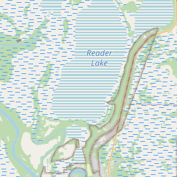
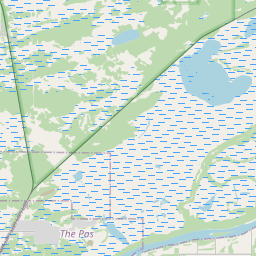
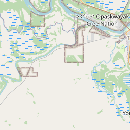
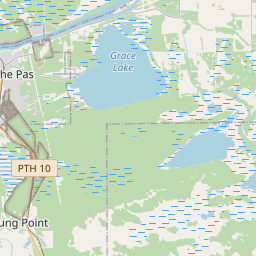
On the map
Last price
—
Floor price
—
7-day median
—
30-day sales
0
30-day range
—
In circulation
0
Price history
median
low – high
sales
No sales in this period
Show table
| Date | median | Low | High | sales |
|---|
Sales history
- Last sale
- —
- 30-day average
- —
- 30-day low
- —
- 30-day high
- —
- Sales 7d
- 0
- Sales 30d
- 0
No sales yet.
Anonymous sales: no buyer or seller shown. Figures count player-to-player sales only.
From Wikipedia
The Pas ( PAH; French: Le Pas) is a town in Manitoba, Canada, at the confluence of the Pasquia River and the Saskatchewan River and surrounded by the unorganized Northern Region of the province. It is approximately 520 kilometres (320 mi) northwest of the provincial capital, Winnipeg, and 35 kilometres (22 mi) from the border of Saskatchewan. It is sometimes still called Paskoyac by locals after the first trading post, called Fort Paskoya, constructed in the 1740s by French and Canadian traders. The Pasquia River begins in the Pasquia Hills in east central Saskatchewan. The French in 1795 knew the river as Basquiau. Known as "The Gateway to the North", The Pas is a multi-industry northern Manitoba town serving the surrounding region. The main components of the region's economy are agriculture, forestry, commercial fishing, tourism, transportation, and services (especially health and education). The main employer is a paper mill operated by Canadian Kraft Paper Industries Ltd. The Pas contains one of the two main campuses of the University College of the North. Across the river on the neighbouring Opaskwayak Cree Nation, the Otineka Mall serves as the area's principal enclosed shopping centre. The Pas is bordered by the Rural Municipality of Kelsey, as well as part of the Opaskwayak Cree Nation.
Text: Wikipédia, CC BY-SA 4.0. · Image: Bobak Ha'Eri (CC BY 3.0) ·
Related cards

Manitoba
Province of Canada
Nº Q1948 ★★★★

Brandon, Manitoba
City in Manitoba, Canada
Nº Q61432 ★★

Winnipeg
Capital and largest city of the province of Manitoba, Canada
Nº Q2135 ★★★★

Paspébiac
Town in Quebec, Canada
Nº Q141663 ★★

Steinbach, Manitoba
City in Manitoba, Canada
Nº Q1026567 ★★

Winnipeg–Churchill train
Passenger railway line between Winnipeg and Churchill in Manitoba, Canada
Nº Q4357460 ★