
The Solent
Strait separating the Isle of Wight from the mainland of England
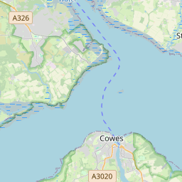
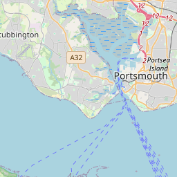
The Solent ( SOH-lənt) is a strait between the Isle of Wight and mainland Great Britain; the major historic ports of Southampton and Portsmouth lie inland of its shores. It is about 20 miles (32 kilometres) long and varies in width between 2+1⁄2 and 5 mi (4 and 8 km), although the Hurst Spit which projects 1+1⁄2 mi (2.4 km) into the Solent narrows the sea crossing between Hurst Castle and Colwell Bay to just over 1 mi (1.6 km).
Nº Q1143832 ★★
Uncommon · Places
The Solent
Strait separating the Isle of Wight from the mainland of England
The Solent ( SOH-lənt) is a strait between the Isle of Wight and mainland Great Britain; the major historic ports of Southampton and Portsmouth lie inland of its shores. It is about 20 miles (32 kilometres) long and varies in width between 2+1⁄2 and 5 mi (4 and 8 km), although the Hurst Spit which projects 1+1⁄2 mi (2.4 km) into the Solent narrows the sea crossing between Hurst Castle and Colwell Bay to just over 1 mi (1.6 km).
On the map
Last price
—
Floor price
—
7-day median
—
30-day sales
0
30-day range
—
In circulation
0
Price history
median
low – high
sales
No sales in this period
Show table
| Date | median | Low | High | sales |
|---|
Sales history
- Last sale
- —
- 30-day average
- —
- 30-day low
- —
- 30-day high
- —
- Sales 7d
- 0
- Sales 30d
- 0
No sales yet.
Anonymous sales: no buyer or seller shown. Figures count player-to-player sales only.
From Wikipedia
The Solent ( SOH-lənt) is a strait between the Isle of Wight and mainland Great Britain; the major historic ports of Southampton and Portsmouth lie inland of its shores. It is about 20 miles (32 kilometres) long and varies in width between 2+1⁄2 and 5 mi (4 and 8 km), although the Hurst Spit which projects 1+1⁄2 mi (2.4 km) into the Solent narrows the sea crossing between Hurst Castle and Colwell Bay to just over 1 mi (1.6 km). The Solent is a major shipping lane for passenger, freight and military vessels. It is also an important recreational area for water sports, particularly yachting, hosting the Cowes Week sailing event annually. It is sheltered by the Isle of Wight and has a complex tidal pattern, which has benefited Southampton's success as a port, providing a "double high tide" that extends the tidal window during which deep-draught ships can be handled. Spithead, an area off Gilkicker Point near Gosport, is known as the place where the Royal Navy is traditionally reviewed by the monarch of the day. The area is of great ecological and landscape importance, particularly because of the coastal and estuarine habitats along its edge. Much of its coastline is designated as a Special Area of Conservation. It is bordered by and forms a part of the character of a number of nationally important protected landscapes including the New Forest National Park, and the Isle of Wight AONB. It is sometimes erroneously referred to as the “River Solent”; however, the River Solent is actually an extinct river that, during the Pleistocene, was located in southern Hampshire and the Isle of Wight. The Solent itself is not a river – it is a strait.
Text: Wikipédia, CC BY-SA 4.0. · Image: Wikimedia Commons (Public domain) ·
Related cards

Long Island Sound
Estuary on the east coast of the United States
Nº Q867460 ★★★

North Channel (Great Britain and Ireland)
Strait in the United Kingdom between northeast Northern Ireland and the Scottish Kintyre peninsula
Nº Q209113 ★★★

Le Maire Strait
The northern entrance to the Strait of Magellan
Nº Q1479175 ★★

Denmark Strait
Oceanic strait between Greenland to its northwest and Iceland to its southeast
Nº Q152058 ★★★★

Celtic Sea
Sea west of the English Channel
Nº Q81499 ★★★

Baie de Saint-Brieuc
Bay in northern France, part of the English Channel
Nº Q2879705 ★★