
Turkestan Range
Mountain range
One of the northern extensions of the Pamir-Alay system, the Turkestan Range (Russian: Туркестанский хребет; Kyrgyz: Түркстан кырка тоосу; Uzbek: Туркистон тизмаси, romanized: Turkiston tizmasi; Tajik: Қаторкӯҳи Туркистон) stretches for a total length of 340 km from the Alay Mountains on the border of Kyrgyzstan with Tajikistan to the Samarkand oasis in Uzbekistan. It runs in the east–west direction, north of the Zeravshan Range, forming the southern boundary of the Ferghana Valley in Tajikistan and Golodnaya Steppe in Uzbekistan.
Nº Q1256366 ★★
Uncommon · Places
Turkestan Range
Mountain range
One of the northern extensions of the Pamir-Alay system, the Turkestan Range (Russian: Туркестанский хребет; Kyrgyz: Түркстан кырка тоосу; Uzbek: Туркистон тизмаси, romanized: Turkiston tizmasi; Tajik: Қаторкӯҳи Туркистон) stretches for a total length of 340 km from the Alay Mountains on the border of Kyrgyzstan with Tajikistan to the Samarkand oasis in Uzbekistan. It runs in the east–west direction, north of the Zeravshan Range, forming the southern boundary of the Ferghana Valley in Tajikistan and Golodnaya Steppe in Uzbekistan.
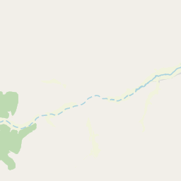
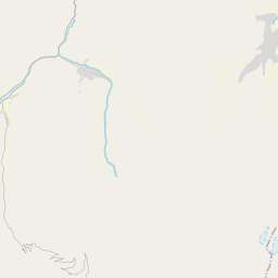
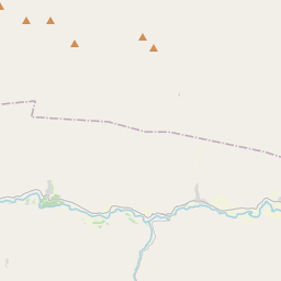
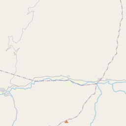
On the map
Last price
—
Floor price
—
7-day median
—
30-day sales
0
30-day range
—
In circulation
0
Price history
median
low – high
sales
No sales in this period
Show table
| Date | median | Low | High | sales |
|---|
Sales history
- Last sale
- —
- 30-day average
- —
- 30-day low
- —
- 30-day high
- —
- Sales 7d
- 0
- Sales 30d
- 0
No sales yet.
Anonymous sales: no buyer or seller shown. Figures count player-to-player sales only.
From Wikipedia
One of the northern extensions of the Pamir-Alay system, the Turkestan Range (Russian: Туркестанский хребет; Kyrgyz: Түркстан кырка тоосу; Uzbek: Туркистон тизмаси, romanized: Turkiston tizmasi; Tajik: Қаторкӯҳи Туркистон) stretches for a total length of 340 km from the Alay Mountains on the border of Kyrgyzstan with Tajikistan to the Samarkand oasis in Uzbekistan. It runs in the east–west direction, north of the Zeravshan Range, forming the southern boundary of the Ferghana Valley in Tajikistan and Golodnaya Steppe in Uzbekistan. The highest elevations are in the east, near the border with Kyrgyzstan. The maximum elevation is the Pik Skalisty at 5,621 metres (18,442 ft). Glaciation occurs especially in the east. The southern slopes are bare cliffs and mountain steppe; the northern slopes are covered with forests. A highway through the Shakhristan Pass at 3,378 meters (11,083 ft) connects the capital Dushanbe with Khujand in Northern Tajikistan (Sughd Province).
Text: Wikipédia, CC BY-SA 4.0. · Image: Nataev (CC BY-SA 4.0) ·
Related cards

Hisar Range
Mountain range
Nº Q1552313 ★★

Geography of Turkmenistan
Overview of the geography of Turkmenistan
Nº Q2045221 ★★

Kopet Dag
Mountain range in Iran and Turkmenistan
Nº Q328072 ★★★

Chimgan
Ski resort in Uzbekistan
Nº Q1073123 ★★

Yin Mountains
Mountain range
Nº Q1152132 ★★★

Alishan Range
Mountain range
Nº Q717495 ★