

Uncommon · Places
Vas County (former)
County of the Kingdom of Hungary (1000–1950)
Vas (Latin: Comitatus Castrifèrreus, German: Eisenburg, Slovene: Železna županija or Železna) was an administrative county (comitatus) of the Kingdom of Hungary. Its territory is now divided between Hungary, Austria and Slovenia.
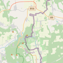
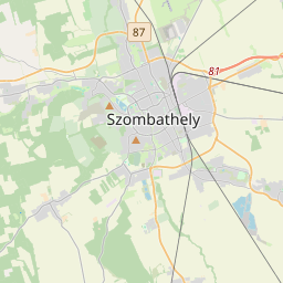
On the map

From Wikipedia
Vas (Latin: Comitatus Castrifèrreus, German: Eisenburg, Slovene: Železna županija or Železna) was an administrative county (comitatus) of the Kingdom of Hungary. Its territory is now divided between Hungary, Austria and Slovenia. Vas County shared borders with the Austrian lands Lower Austria and Styria and the Hungarian counties Sopron, Veszprém and Zala. It stretched between the river Mura in the south, the foothills of the Alps in the west and the river Marcal in the east. The Rába River flowed through the county. Its area was 5474 km² around 1910. Vas County arose as one of the first comitatuses of the Kingdom of Hungary. In 1920 by the Treaty of Trianon, the western part of the county became part of Austria, and a small part in the southwest became part of the newly formed Kingdom of Serbs, Croats and Slovenes (from 1929 as Yugoslavia). The remainder stayed in Hungary. The former Yugoslavian part of the county was occupied and annexed by Hungary between 1941 and 1945 during World War II.
Text: Wikipédia, CC BY-SA 4.0. · Image: Hogweard (Public domain) ·