

Common · Places
Vendersheim
Municipality of Germany
Vendersheim is an Ortsgemeinde – a municipality belonging to a Verbandsgemeinde, a kind of collective municipality – in the Alzey-Worms district in Rhineland-Palatinate, Germany.
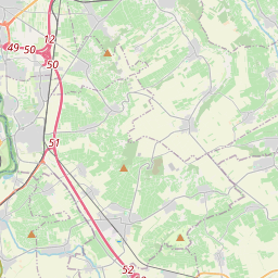
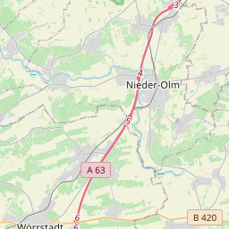
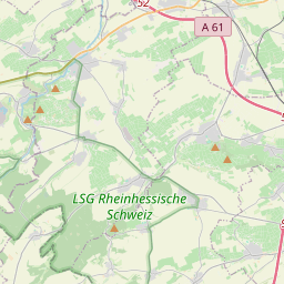
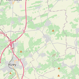
On the map
From Wikipedia
Vendersheim is an Ortsgemeinde – a municipality belonging to a Verbandsgemeinde, a kind of collective municipality – in the Alzey-Worms district in Rhineland-Palatinate, Germany. The municipality lies in Rhenish Hesse between Mainz (some 28 km away) and Alzey (some 14 km away). The highest mountain in the Palatinate, the Donnersberg, rises some 30 km away to the south-southwest (as the crow flies). Vendersheim is surrounded by vineyards shaped like a horseshoe with the open end towards the south, and has more than 1,500 hours of sunshine each year. The soil around Vendersheim is very fertile, made up as it is of weathered loess, the so-called Lößlehm (decalcified loess). After the last ice age and the return of plant life began the permanent settlement of the Rhine valley by the Linear Pottery culture. In the Vendersheim area, there have been only a few finds to confirm any Bronze Age settlement. In Roman times there was a rural Roman settlement in the form of a Roman farmstead – a villa rustica – with cropraising, livestock raising and winegrowing. In 406, the Franks crossed the Rhine frontier and settled the area between the Donnersberg and the Rhine. New placenames with the ending —heim (cognate with English home) were overwhelmingly the Franks’ favourite choice.
Text: Wikipédia, CC BY-SA 4.0. · Image: The original uploader was Tobias Knab at German Wikipedia. (CC BY-SA 3.0) ·