
Veríssimo
Town and municipality in the state of Minas Gerais, Brazil
Veríssimo is a Brazilian municipality located in the west of the state of Minas Gerais. Its population as of 2020 was estimated to be 4,045 people living in a total area of 1,028 km2 (397 sq mi). The city belongs to the mesoregion of Triângulo Mineiro and Alto Paranaíba and to the micro-region of Uberaba.
Nº Q22064998 ★★★
Rare · Places
Veríssimo
Town and municipality in the state of Minas Gerais, Brazil
Veríssimo is a Brazilian municipality located in the west of the state of Minas Gerais. Its population as of 2020 was estimated to be 4,045 people living in a total area of 1,028 km2 (397 sq mi). The city belongs to the mesoregion of Triângulo Mineiro and Alto Paranaíba and to the micro-region of Uberaba.
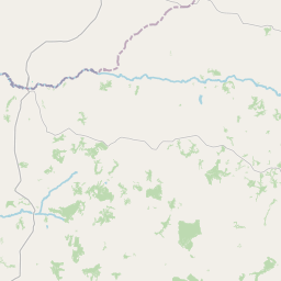
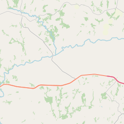
On the map

Last price
—
Floor price
—
7-day median
—
30-day sales
0
30-day range
—
In circulation
0
Price history
median
low – high
sales
No sales in this period
Show table
| Date | median | Low | High | sales |
|---|
Sales history
- Last sale
- —
- 30-day average
- —
- 30-day low
- —
- 30-day high
- —
- Sales 7d
- 0
- Sales 30d
- 0
No sales yet.
Anonymous sales: no buyer or seller shown. Figures count player-to-player sales only.
From Wikipedia
Veríssimo is a Brazilian municipality located in the west of the state of Minas Gerais. Its population as of 2020 was estimated to be 4,045 people living in a total area of 1,028 km2 (397 sq mi). The city belongs to the mesoregion of Triângulo Mineiro and Alto Paranaíba and to the micro-region of Uberaba. It became a municipality in 1938. Veríssimo is located at an elevation of 674 meters, 43 km. west of Uberaba. The distance to the state capital, Belo Horizonte, is 513 km. Neighboring municipalities are: Uberaba, Conceição das Alagoas, Campo Florido, Prata, and Uberlândia. The main economic activities are services, small industries, and agriculture. The GDP in 2005 was approximately R$57 million, with 15 million Reais from services, 10 million Reais from industry, and 28 million Reais from agriculture. There were 516 rural producers on 76,000 hectares of land. The land is very fertile and agricultural production is high. 121 farms had tractors (2006). Approximately 1,100 persons were dependent on agriculture. The main crops were sugarcane and soybeans, but rubber, coffee, cotton, rice, beans and corn were also grown. There were 76,000 head of cattle (2006). There was 1 bank (2007) and 314 automobiles (165 motorcycles), giving a ratio of 11 inhabitants per automobile. There was 1 health clinic. Patients with more serious health conditions are transported to Uberaba, which is connected by established roads. Educational needs were met by 3 primary schools, 1 middle school, and 2 pre-primary schools. Municipal Human Development Index: 0.776 (2000) State ranking: 133 out of 853 municipalities as of 2000 National ranking: 1,164 out of 5,138 municipalities as of 2000 Literacy rate: 85% Life expectancy: 74 (average of males and females) In 2000 the per capita monthly income of R$244.00 was just below the state and national average of R$276.00...
Text: Wikipédia, CC BY-SA 4.0. · Image: Raphael Lorenzeto de Abreu (CC BY 2.5) ·
Related cards

East–West Highway (Algeria)
Road in Algeria
Nº Q2872947 ★★★

Ginosar
Kibbutz in Israel
Nº Q1525069 ★★★

Hola Prystan
City in Kherson Oblast of Ukraine
Nº Q760224 ★★★

Dartmoor Zoological Park
British zoological garden
Nº Q5225654 ★★★

Picher, Oklahoma
Ghost town and former city in Ottawa County, northeastern Oklahoma, United States
Nº Q2844779 ★★★

Pampanga
Province of the Philippines
Nº Q13870 ★★★