
Via Giulia
Thoroughfare in Rome, Italy
The Via Giulia is a street of historical and architectural importance in Rome, Italy, which runs along the left (east) bank of the Tiber from Piazza San Vincenzo Pallotti, near Ponte Sisto, to Piazza dell'Oro. It is about 1 kilometre long and connects the Regola and Ponte Rioni.
Nº Q782187 ★★★
Rare · Places
Via Giulia
Thoroughfare in Rome, Italy
The Via Giulia is a street of historical and architectural importance in Rome, Italy, which runs along the left (east) bank of the Tiber from Piazza San Vincenzo Pallotti, near Ponte Sisto, to Piazza dell'Oro. It is about 1 kilometre long and connects the Regola and Ponte Rioni.
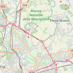
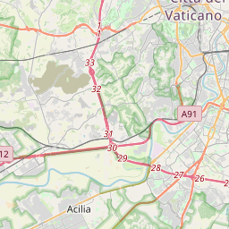
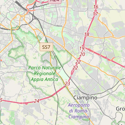
On the map

Last price
—
Floor price
—
7-day median
—
30-day sales
0
30-day range
—
In circulation
0
Price history
median
low – high
sales
No sales in this period
Show table
| Date | median | Low | High | sales |
|---|
Sales history
- Last sale
- —
- 30-day average
- —
- 30-day low
- —
- 30-day high
- —
- Sales 7d
- 0
- Sales 30d
- 0
No sales yet.
Anonymous sales: no buyer or seller shown. Figures count player-to-player sales only.
From Wikipedia
The Via Giulia is a street of historical and architectural importance in Rome, Italy, which runs along the left (east) bank of the Tiber from Piazza San Vincenzo Pallotti, near Ponte Sisto, to Piazza dell'Oro. It is about 1 kilometre long and connects the Regola and Ponte Rioni. The road's design was commissioned in 1508 to Donato Bramante by Pope Julius II (r. 1503–1513), of the powerful della Rovere family, and was one of the first important urban planning projects in papal Rome during the Renaissance. The road, named after its patron, had been also called Via Magistralis (lit. 'master road') because of its importance, and Via Recta (lit. 'straight road') because of its layout. The project had three aims: the creation of a major roadway inserted in a new system of streets superimposed on the maze of alleys of medieval Rome; the construction of a large avenue surrounded by sumptuous buildings to testify to the renewed grandeur of the Catholic Church; and finally, the foundation of a new administrative and banking centre near the Vatican, the seat of the popes, and far from the traditional city centre on the Capitoline Hill, dominated by the Roman baronial families opposed to the pontiffs. Despite the interruption of the project due to the pax romana of 1511 and the death of the pope two years later, the new road immediately became one of the main centres of the Renaissance in Rome. Many palaces and churches were built by the most important architects of the time, such as Raffaello Sanzio and Antonio da Sangallo the Younger, who often chose to move into the street. Several noble families joined them, while European nations and Italian city-states chose to build their churches in the street or in the immediate vicinity. In the Baroque period the...
Text: Wikipédia, CC BY-SA 4.0. · Image: Alex1011 (CC BY-SA 3.0) ·
Related cards

Gryfice
City of Poland
Nº Q167744 ★★★

Port St. Lucie, Florida
City in St. Lucie County, Florida, United States
Nº Q667749 ★★★

Wabash River
Tributary of the Ohio River in the United States
Nº Q196183 ★★★

Ober Ost
Abbreviation for a German military district during World War I
Nº Q570767 ★★★

Moselle Valley
Geographical region in Belgium, France, Germany and Luxembourg
Nº Q897106 ★★★
Fårbo
Urban area in Oskarshamn Municipality, Sweden
Nº Q3291269 ★★★