
Virudhunagar
Village in Virudhanagar District, Tamil Nadu, India
Virudhunagar is a Town and the administrative headquarters of Virudhunagar district in the Indian state of Tamil Nadu. It is located 506 km (314 mi) southwest of the state capital Chennai and 53 km (33 mi) south of Madurai. Virudhunagar emerged as an important trade centre during the British rule.
Nº Q937745 ★
Common · Places
Virudhunagar
Village in Virudhanagar District, Tamil Nadu, India
Virudhunagar is a Town and the administrative headquarters of Virudhunagar district in the Indian state of Tamil Nadu. It is located 506 km (314 mi) southwest of the state capital Chennai and 53 km (33 mi) south of Madurai. Virudhunagar emerged as an important trade centre during the British rule.
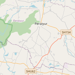
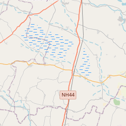
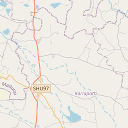
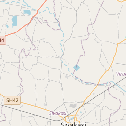
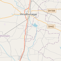
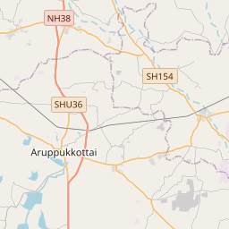
On the map
Last price
—
Floor price
—
7-day median
—
30-day sales
0
30-day range
—
In circulation
0
Price history
median
low – high
sales
No sales in this period
Show table
| Date | median | Low | High | sales |
|---|
Sales history
- Last sale
- —
- 30-day average
- —
- 30-day low
- —
- 30-day high
- —
- Sales 7d
- 0
- Sales 30d
- 0
No sales yet.
Anonymous sales: no buyer or seller shown. Figures count player-to-player sales only.
From Wikipedia
Virudhunagar is a Town and the administrative headquarters of Virudhunagar district in the Indian state of Tamil Nadu. It is located 506 km (314 mi) southwest of the state capital Chennai and 53 km (33 mi) south of Madurai. Virudhunagar emerged as an important trade centre during the British rule. Located to the east of Kowsika River, Virudhunagar has an average elevation of 102 m (335 ft) above sea level and is largely flat with no major geological formations. The town has a humid climate and receives 780 mm (31 in) rainfall annually. It has been ruled at various times by Later Pandyas, Vijayanagar Empire, Madurai Nayaks, Chanda Sahib, Carnatic kingdom and the British. It was formerly known as Virudhupatti. Virudhunagar is administered by a municipality covering an area of 6.39 km2 (2.47 sq mi). In 2011, the town had a population of 72,296. As the administrative headquarters of the district, the town's economy is based on the service sector, which employs 93% of the total workforce. The remaining 7% is employed in agriculture, mining, quarrying, raising livestock, manufacturing, construction, trade and commerce. Roadways are the main means of transportation, while the town also has rail connectivity. The nearest airport is Madurai Airport, located 45 km (28 mi) north-east of the town. There are 14 secondary schools, two colleges of arts and sciences (one for men and one for women), one polytechnic college, Three Engineering Colleges (Kamaraj College of Engineering and Technology, Sri Vidya, AAA) and three university study centres. Virudhunagar Government Medical College is established in the year 2021. It is located on the NH-44 nearby Virudhunagar Collector Office.
Text: Wikipédia, CC BY-SA 4.0. · Image: Arunankapilan (CC BY-SA 3.0) ·
Related cards

Rajapalayam
A town in Virudhanagar District, Tamil Nadu, India
Nº Q2237707 ★★

Pudukkottai
City
Nº Q921719 ★★

Virudhachalam
Village in Cuddalore District, Tamil Nadu, India
Nº Q2465654 ★

Mannargudi
Town in Tamil Nadu, India
Nº Q2673456 ★

Sivakasi
City in Tamil Nadu, India
Nº Q2061870 ★★

Tiruppur
City in Tamil Nadu, India
Nº Q836527 ★★