
Waigeo
Island in Raja Ampat Regency, Southwest Papua Province, Indonesia
Waigeo is an island in the Southwest Papua province of eastern Indonesia. The island is also known as Amberi or Waigiu. It is the largest of the four main islands in the Raja Ampat Islands archipelago, between Halmahera and New Guinea, and about 65 kilometres (40 miles) from the northwest coast of the latter.
Nº Q1323418 ★
Common · Places
Waigeo
Island in Raja Ampat Regency, Southwest Papua Province, Indonesia
Waigeo is an island in the Southwest Papua province of eastern Indonesia. The island is also known as Amberi or Waigiu. It is the largest of the four main islands in the Raja Ampat Islands archipelago, between Halmahera and New Guinea, and about 65 kilometres (40 miles) from the northwest coast of the latter.
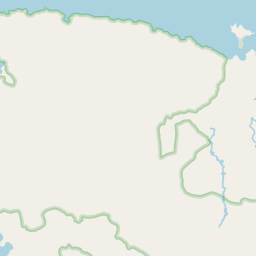
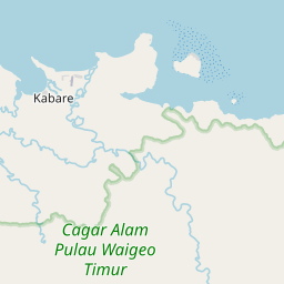
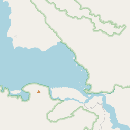
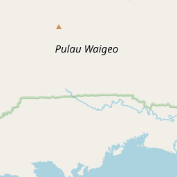
On the map
Last price
—
Floor price
—
7-day median
—
30-day sales
0
30-day range
—
In circulation
0
Price history
median
low – high
sales
No sales in this period
Show table
| Date | median | Low | High | sales |
|---|
Sales history
- Last sale
- —
- 30-day average
- —
- 30-day low
- —
- 30-day high
- —
- Sales 7d
- 0
- Sales 30d
- 0
No sales yet.
Anonymous sales: no buyer or seller shown. Figures count player-to-player sales only.
From Wikipedia
Waigeo is an island in the Southwest Papua province of eastern Indonesia. The island is also known as Amberi or Waigiu. It is the largest of the four main islands in the Raja Ampat Islands archipelago, between Halmahera and New Guinea, and about 65 kilometres (40 miles) from the northwest coast of the latter. The Dampier Strait (a.k.a. Augusta's Strait) separates it from Batanta, and the Bougainville Strait (not to be confused with the similarly-named Bougainville Strait in the Solomon Islands) from the Kawe islands (Kawe, Wayag and Sayang) to its northwest. The "inner sea" that nearly cleaves the island in two is Mayalibit Bay (Teluk Mayalibit), also known as the Majoli Gulf. The land area of the island is 3,155 square kilometres (1,218 square miles), although with the many hundreds of outlying islands ond islets the total becomes 3,514.85 square kilometres (1,357.09 square miles); the highest elevations are the 958-metre-high (3,143-foot) Buffalo Horn (Gunung Nok) and 939-metre-high (3,081-foot) Serodjil. From west to east, the island measures approximately 110 km (68 mi), north–south about 50 kilometres (31 miles). The town of Waisai in the south of the island is the capital of the Raja Ampat Regency, and holds more than half of the population of the island.
Text: Wikipédia, CC BY-SA 4.0. · Image: Lord Mountbatten (CC BY-SA 4.0) ·
Related cards

Raja Ampat Islands
Archipelago in Indonesia
Nº Q15088317 ★★★★

Waisai
District in Raja Ampat Regency, Southwest Papua Province, Indonesia
Nº Q12523892 ★★★

Raja Ampat Regency
Regency in Southwest Papua Province, Indonesia
Nº Q26785 ★★★★★

Misool
Island in Raja Ampat Regency, Southwest Papua Province, Indonesia
Nº Q1326456 ★★★

Salawati
Island in Southwest Papua Province, Indonesia
Nº Q975927 ★★★

Mamberamo River
River in Papua Province, Indonesia
Nº Q726986 ★★★★